Login

Si pozabil/a podatke za prijavo?

Cookies have to be accepted!
Your browser's cookie functionality is disabled. Please enable this functionality.

Not a member yet?

Register now
Login

Available for registred users only

Log in to use this feature.

Si pozabil/a podatke za prijavo?

Cookies have to be accepted!
Your browser's cookie functionality is disabled. Please enable this functionality.

Not a member yet?

Register now
Filter
Kategorije
Advanced filters
  • Dolžina (km)
  • Metri nadmorske višine
Shrani filter Reset filter

TrackRank

QRCode

Technical data

Dolžina3,4 km Metri nadmorske višine643 m Way down m Trajanje00:00 h:m Datum13.02.2009
Ocene Author Pokrajina Dejavnik zabave Kondicija Tehnika

Statistika

1233 Pogledi Ocene 147 Prenosi Povprečje
Rate
  • List z izleti
  • Prihod
  • Prenosi

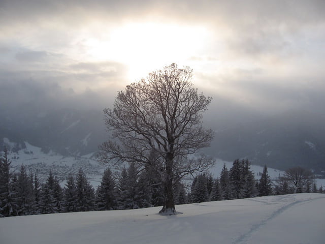
Super Tour, allerdings nur bei guter Schneelage zu empfehlen da es sich um einen Südhang handelt der bei Sonneneinstrahlung schnell wieder grün ist.
Die GPS-Daten sind nur bis zum Gipfelkreuz des mittleren Hörndle aufgezeichnet selbstverständliich empfiehlt sich aber auch noch ein Abstecher zur Hörndlehütte.

Abfahrtsstrecke = Aufstieg

Further information at

http://www.verkehrsverein.e.v.hohenpeissenberg.de/mit_den_schneeflocken_skitouren.php

Galerija izletov

Zemljevid in višinski profil izleta

  • Open Street Map
  • Google
Minimum height 827 m Maximum height 1514 m Prikaz podrobnosti

More about the tour author

Ritzelflitzer
Member since 2008

Send private message

Komentarji

Poti GPS

Trackpoints
  • GPX / Garmin Map Source (gpx) download
  • TCX / Garmin Training Center® (tcx) download
  • CRS / Garmin Training Center® (crs) download
  • Google Earth (kml) download
  • G7ToWin (g7t) download
  • TTQV (trk) download
  • Overlay (ovl) download
  • Fugawi (txt) download
  • Kompass (DAV) Track (tk) download
  • List z izleti (pdf) download
  • Original file of the author (gpx) download

More about the tour author

Ritzelflitzer
Member since 2008

Send private message
Share track
Add to my favorites
Remove from my favorites
Edit tags
My score
Rate
Izlet: Skitour von Unterammergau (Kappelkirche) aufs mittlere Hörndle
Vrsta: Smuči
Dolžina: 3,4 km
Evaluated on:
Trajanje:
Day(s)
Hour(s)
Minute(s)
Ocena: Pokrajina Dejavnik zabave Kondicija Tehnika