


Weitere Bilder: www.panoramio.com/photo/58777382
Die Tour startet an der S-Bahn Böblingen/Hulb und geht dann über Aidlingen und Deckenpfronn Richtung Herrenberg. Nach Herrenberg wird die Tour 23517 bis Nagold nachgefahren. Der Rückweg geht südlich von Herrenberg in den Schönbuch und von dort aus zurück zur S-Bahn Haltestelle.
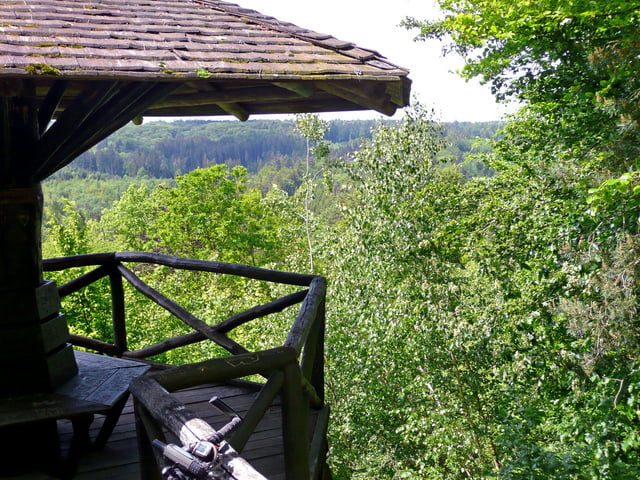
Die Tour geht meistens über Waldwege. Geteerte Wege sind auch dabei. Im und nach dem Schönbuch wird auch ab und zu ein Single-Trail benutzt.
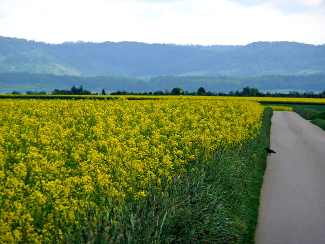
Landschaftlich ist die Strecke abwechslungsreich. Oft geht die Strecke durch den Wald. Aber auch Ausblicke in das Nagoldtal, ins Gäu und in die Täler des Schönbuchs gehören dazu.
Further information at
http://www.naturpark-schoenbuch.deGalerija izletov


Zemljevid in višinski profil izleta
Minimum height 375 m
Maximum height 604 m
More about the tour author
|
|
MatthiasBy |
Komentarji

S-Bahn Haltestelle Böblingen-Hulb (dort ist auch ein gebührenplichtiger Parkplatz). Besser Parken kann man am Sportplatz in Dagersheim (von der Autobahn kommend, nach dem Ortschild links).
Poti GPS
Trackpoints-
GPX / Garmin Map Source (gpx) download
-
TCX / Garmin Training Center® (tcx) download
-
CRS / Garmin Training Center® (crs) download
-
Google Earth (kml) download
-
G7ToWin (g7t) download
-
TTQV (trk) download
-
Overlay (ovl) download
-
Fugawi (txt) download
-
Kompass (DAV) Track (tk) download
-
List z izleti (pdf) download
-
Original file of the author (gpx) download
More about the tour author
|
|
MatthiasBy |
Add to my favorites
Remove from my favorites
Edit tags
Open track
My score
Rate