


Tour vom Freibad Thalkirchdorf zur Salmaser Höhe, Richtung Thaler Höhe und zurück nach Thalkirchdorf.
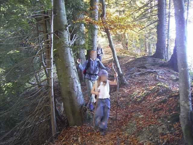
Hinauf geht es anfangs auf einem Wirtschaftsweg der in einen Wanderweg übergeht. Nach dem Gipfel auf einem Höhenweg durch Wälder und Wiesen in Richtung Thaler Höhe (Alternativ weiter bis zur Thaler Höhe und den Weg der Mountainbiketour zurück) und zurück nach Thalkirchdorf.
Hinauf geht es anfangs auf einem Wirtschaftsweg der in einen Wanderweg übergeht. Nach dem Gipfel auf einem Höhenweg durch Wälder und Wiesen in Richtung Thaler Höhe (Alternativ weiter bis zur Thaler Höhe und den Weg der Mountainbiketour zurück) und zurück nach Thalkirchdorf.
Galerija izletov
Zemljevid in višinski profil izleta
Minimum height 742 m
Maximum height 1254 m
More about the tour author
|
|
skyhopper |
Komentarji

Thalkirchdorf liegt an der B308 Lindau - Lindenberg - Immenstadt. Von Lindau kommend ca. 5km nach Oberstaufen rechts. Parken beim Freibad.
Poti GPS
Trackpoints-
GPX / Garmin Map Source (gpx) download
-
TCX / Garmin Training Center® (tcx) download
-
CRS / Garmin Training Center® (crs) download
-
Google Earth (kml) download
-
G7ToWin (g7t) download
-
TTQV (trk) download
-
Overlay (ovl) download
-
Fugawi (txt) download
-
Kompass (DAV) Track (tk) download
-
List z izleti (pdf) download
-
Original file of the author (gpx) download
More about the tour author
|
|
skyhopper |
Add to my favorites
Remove from my favorites
Edit tags
Open track
My score
Rate