Login

Si pozabil/a podatke za prijavo?

Cookies have to be accepted!
Your browser's cookie functionality is disabled. Please enable this functionality.

Not a member yet?

Register now
Login

Available for registred users only

Log in to use this feature.

Si pozabil/a podatke za prijavo?

Cookies have to be accepted!
Your browser's cookie functionality is disabled. Please enable this functionality.

Not a member yet?

Register now
Filter
Kategorije
Advanced filters
  • Dolžina (km)
  • Metri nadmorske višine
Shrani filter Reset filter

TrackRank

QRCode

Technical data

Dolžina22,7 km Metri nadmorske višine37 m Way down37 m Trajanje01:30 h:m Datum09.06.2006
Ocene Author Pokrajina Dejavnik zabave Kondicija Tehnika

Statistika

1123 Pogledi 2 Ocene 316 Prenosi 4.00 Povprečje
Rate
  • List z izleti
  • Prihod
  • Prenosi
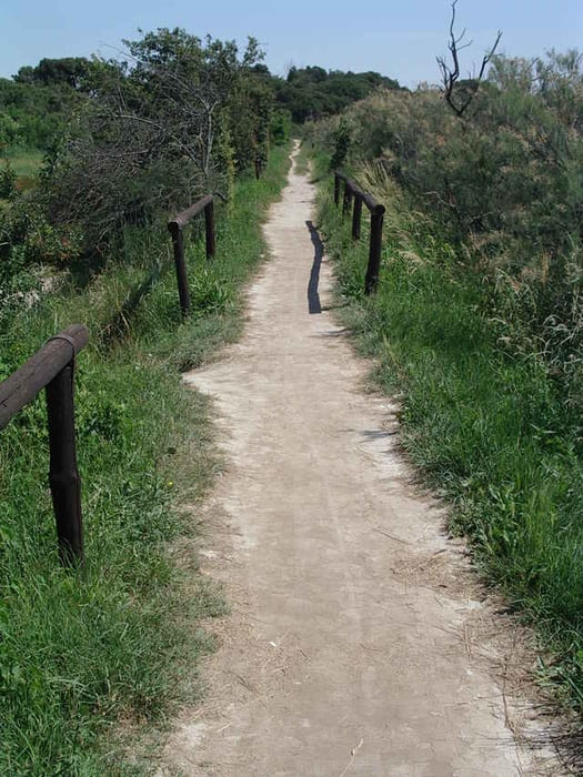
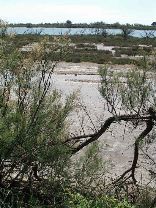
Die Tour startet auf Asphalt, wechselt aber nach kurzer Strecke zu Schotter und führt an einem Kanal entlang. Der Weg ist sehr gut zu fahren und wird an der Schleuse interessant. Dort wird der Weg zum Singletrail und ist gut zu fahren. In dem Wäldchen ist der technisch anspruchvollste Teil zu fahren, dort sind bis zu 20cm hohen Wurzeln zu überfahren. Danach führt der Trail an dem idyllisch bewachsenen Adriaufer entlang.

Ein Trail ohne Höhenmeter - aber trotzdem sehr abwechslungsreich. (Die 71m stammen aus der Automatik und sind maßlos übertrieben!)

Galerija izletov

Zemljevid in višinski profil izleta

  • Open Street Map
  • Google
Minimum height -3 m Maximum height 6 m Prikaz podrobnosti

More about the tour author

upndown
Member since 2005

Send private message

Komentarji

Poti GPS

Trackpoints
  • GPX / Garmin Map Source (gpx) download
  • TCX / Garmin Training Center® (tcx) download
  • CRS / Garmin Training Center® (crs) download
  • Google Earth (kml) download
  • G7ToWin (g7t) download
  • TTQV (trk) download
  • Overlay (ovl) download
  • Fugawi (txt) download
  • Kompass (DAV) Track (tk) download
  • List z izleti (pdf) download
  • Original file of the author (gpx) download

More about the tour author

upndown
Member since 2005

Send private message
Share track
Add to my favorites
Remove from my favorites
Edit tags
My score
Rate
Izlet: Tour zwischen Adria und Canale Largon
Vrsta: Gorsko kolo
Dolžina: 22,7 km
Evaluated on:
Trajanje:
Day(s)
Hour(s)
Minute(s)
Ocena: Pokrajina Dejavnik zabave Kondicija Tehnika