Login

Si pozabil/a podatke za prijavo?

Cookies have to be accepted!
Your browser's cookie functionality is disabled. Please enable this functionality.

Not a member yet?

Register now
Login

Available for registred users only

Log in to use this feature.

Si pozabil/a podatke za prijavo?

Cookies have to be accepted!
Your browser's cookie functionality is disabled. Please enable this functionality.

Not a member yet?

Register now
Filter
Kategorije
Advanced filters
  • Dolžina (km)
  • Metri nadmorske višine
Shrani filter Reset filter

TrackRank

QRCode

Technical data

Dolžina40,4 km Metri nadmorske višine1658 m Way down1687 m Trajanje00:00 h:m Datum18.07.2009
Ocene Author User Pokrajina Dejavnik zabave Kondicija Tehnika

Statistika

1693 Pogledi 1 Ocena 299 Prenosi 5.00 Povprečje
Rate
  • List z izleti
  • Prihod
  • Prenosi
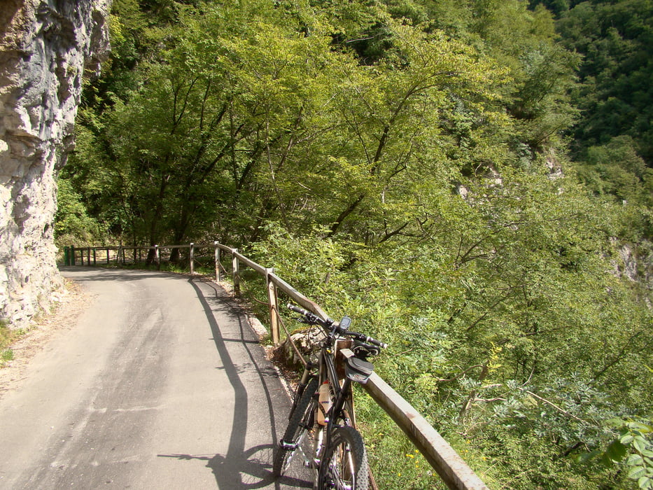
Izhodiščna točka je Tolmin,pot nadaljujemo skozi Tolminska korita,po makedamski cesti in mulatjeri do edine ceste na Tolminske Ravne.Pot je 95% vozna.

Galerija izletov

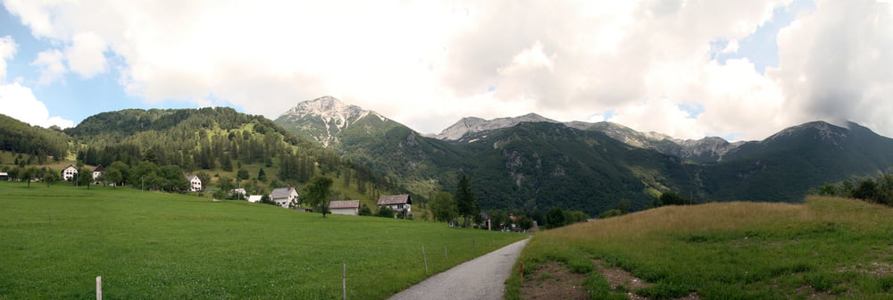
Zemljevid in višinski profil izleta

  • Open Street Map
  • Google
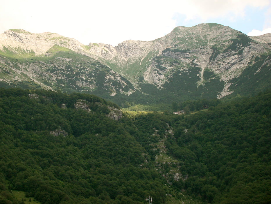
Minimum height 179 m Maximum height 1327 m Prikaz podrobnosti

More about the tour author

caperos
Member since 2008

Send private message

Komentarji

Ulrike1 on 20.09.2017

Planina Razor

I have done that tour today. It was very nice but I did not understand why this tour is documented in a clock-wise direction.

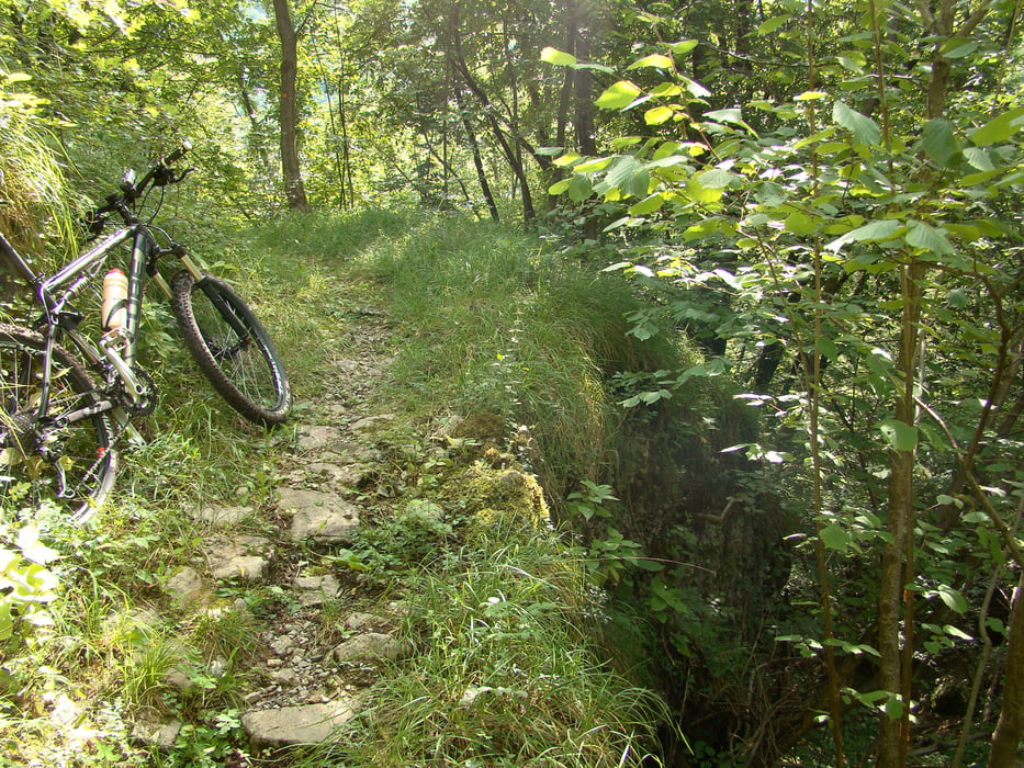
I had to go uphill a steep path (that would have been a very nice single trail downhill) and I went downhill long and boring dirt and later asphalt road. Uphill I had to push the bike quite a few times, and downhill, my fingers got numb due to breaking.

I would recommend any other bikers to do the tour anticlock-wise to enjoy a nice and long single trail downhill (S1 with some passages of S2).

Poti GPS

Trackpoints
  • GPX / Garmin Map Source (gpx) download
  • TCX / Garmin Training Center® (tcx) download
  • CRS / Garmin Training Center® (crs) download
  • Google Earth (kml) download
  • G7ToWin (g7t) download
  • TTQV (trk) download
  • Overlay (ovl) download
  • Fugawi (txt) download
  • Kompass (DAV) Track (tk) download
  • List z izleti (pdf) download
  • Original file of the author (gpx) download

More about the tour author

caperos
Member since 2008

Send private message
Share track
Add to my favorites
Remove from my favorites
Edit tags
My score
Rate
Izlet: Planina Razor
Vrsta: Gorsko kolo
Dolžina: 40,4 km
Evaluated on:
Trajanje:
Day(s)
Hour(s)
Minute(s)
Ocena: Pokrajina Dejavnik zabave Kondicija Tehnika