Login

Si pozabil/a podatke za prijavo?

Cookies have to be accepted!
Your browser's cookie functionality is disabled. Please enable this functionality.

Not a member yet?

Register now
Login

Available for registred users only

Log in to use this feature.

Si pozabil/a podatke za prijavo?

Cookies have to be accepted!
Your browser's cookie functionality is disabled. Please enable this functionality.

Not a member yet?

Register now
Filter
Kategorije
Advanced filters
  • Dolžina (km)
  • Metri nadmorske višine
Shrani filter Reset filter

TrackRank

QRCode

Technical data

Dolžina10,3 km Metri nadmorske višine732 m Way down705 m Trajanje04:48 h:m Datum28.11.2009
Ocene Author Pokrajina Dejavnik zabave Kondicija Tehnika

Statistika

889 Pogledi Ocene 35 Prenosi Povprečje
Rate
  • List z izleti
  • Prihod
  • Prenosi
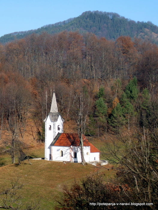
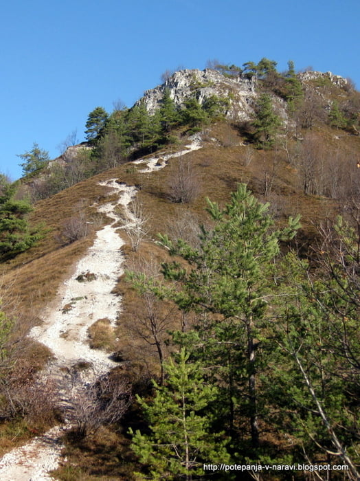
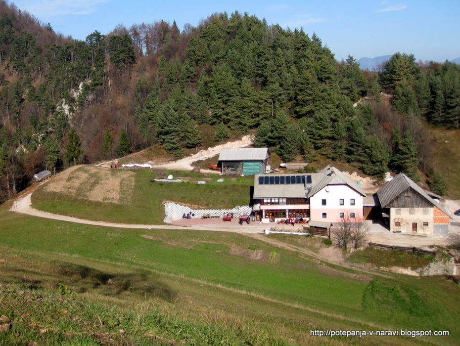
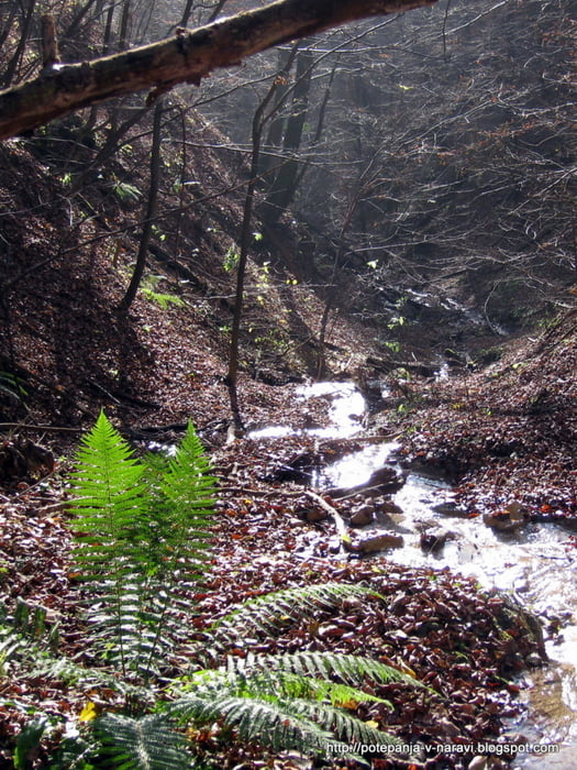
Krožni izlet čez Grmado in Tošč

Further information at

http://potepanja-v-naravi.blogspot.com/2009/11/grmada-in-tosc.html

Galerija izletov

Zemljevid in višinski profil izleta

  • Open Street Map
  • Google
Minimum height 386 m Maximum height 1023 m Prikaz podrobnosti

More about the tour author

ExAmigan
Member since 2009

Send private message

Komentarji

Skozi graščino do konca Polhovega Gradca, nato desno na parkirišče na začetku Mačkovega grabna.

Poti GPS

Trackpoints
  • GPX / Garmin Map Source (gpx) download
  • TCX / Garmin Training Center® (tcx) download
  • CRS / Garmin Training Center® (crs) download
  • Google Earth (kml) download
  • G7ToWin (g7t) download
  • TTQV (trk) download
  • Overlay (ovl) download
  • Fugawi (txt) download
  • Kompass (DAV) Track (tk) download
  • List z izleti (pdf) download
  • Original file of the author (gpx) download

More about the tour author

ExAmigan
Member since 2009

Send private message
Share track
Add to my favorites
Remove from my favorites
Edit tags
My score
Rate
Izlet: Grmada in Tošč
Vrsta: Izlet v gore
Dolžina: 10,3 km
Evaluated on:
Trajanje:
Day(s)
Hour(s)
Minute(s)
Ocena: Pokrajina Dejavnik zabave Kondicija Tehnika