Login

Si pozabil/a podatke za prijavo?

Cookies have to be accepted!
Your browser's cookie functionality is disabled. Please enable this functionality.

Not a member yet?

Register now
Login

Available for registred users only

Log in to use this feature.

Si pozabil/a podatke za prijavo?

Cookies have to be accepted!
Your browser's cookie functionality is disabled. Please enable this functionality.

Not a member yet?

Register now
Filter
Kategorije
Advanced filters
  • Dolžina (km)
  • Metri nadmorske višine
Shrani filter Reset filter

TrackRank

QRCode

Technical data

Dolžina65,1 km Metri nadmorske višine249 m Way down251 m Trajanje00:00 h:m Datum22.08.2006
Ocene Author Pokrajina Dejavnik zabave Kondicija Tehnika

Statistika

3797 Pogledi Ocene 230 Prenosi Povprečje
Rate
  • List z izleti
  • Prihod
  • Prenosi
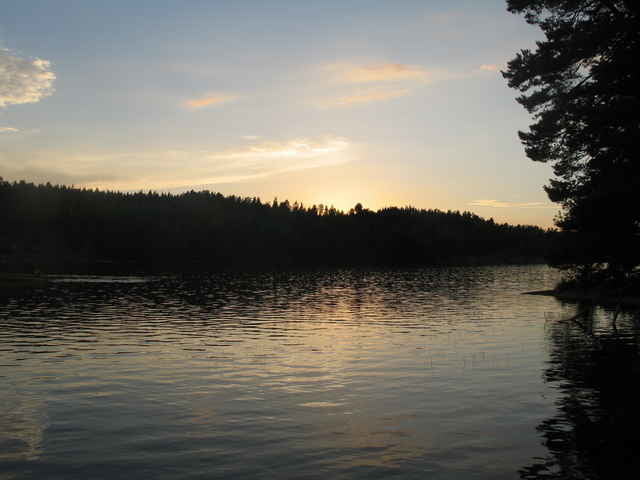
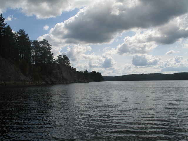
Einfache Mehrtagestour (hier 6 Tage) fast ausschließlich auf Seen. Start am Campingplatz in Horn am Fluß Stangan. Nach 500m erste und einzige Umtragestelle (Länge 200m - rechts vor dem Wehr aussetzen). Zeltmöglichkeiten an Badestelle bzw. Biwak (auf Insel, sehr zu empfehlen) sowie auf dem Campingplatz in Rimforsa (nicht so toll). Tour kann leicht nach Norden bis Linköping bzw. auf dem Asunden in östlicher Richtung verlängert werden. Es ist auch möglich weiter oberhalb am Stangan einzusetzen und somit einen ordentlichen Anteil Flußpaddeln einzubeziehen (inkl. Treideln etc.)

Galerija izletov

Zemljevid in višinski profil izleta

  • Open Street Map
  • Google
Minimum height 45 m Maximum height 138 m Prikaz podrobnosti

More about the tour author

Kay
Member since 2006

Send private message

Komentarji

ca 25km nördlich von Vimmerby

Poti GPS

Trackpoints
  • GPX / Garmin Map Source (gpx) download
  • TCX / Garmin Training Center® (tcx) download
  • CRS / Garmin Training Center® (crs) download
  • Google Earth (kml) download
  • G7ToWin (g7t) download
  • TTQV (trk) download
  • Overlay (ovl) download
  • Fugawi (txt) download
  • Kompass (DAV) Track (tk) download
  • List z izleti (pdf) download
  • Original file of the author (gpx) download

More about the tour author

Kay
Member since 2006

Send private message
Share track
Add to my favorites
Remove from my favorites
Edit tags
My score
Rate
Izlet: Wasserwandern Asunden
Vrsta: Čoln in kanu
Dolžina: 65,1 km
Evaluated on:
Trajanje:
Day(s)
Hour(s)
Minute(s)
Ocena: Pokrajina Dejavnik zabave Kondicija Tehnika