Login

Si pozabil/a podatke za prijavo?

Cookies have to be accepted!
Your browser's cookie functionality is disabled. Please enable this functionality.

Not a member yet?

Register now
Login

Available for registred users only

Log in to use this feature.

Si pozabil/a podatke za prijavo?

Cookies have to be accepted!
Your browser's cookie functionality is disabled. Please enable this functionality.

Not a member yet?

Register now
Filter
Kategorije
Advanced filters
  • Dolžina (km)
  • Metri nadmorske višine
Shrani filter Reset filter

TrackRank

QRCode

Technical data

Dolžina62,6 km Metri nadmorske višine848 m Way down813 m Trajanje06:00 h:m Datum22.03.2010
Ocene Author Pokrajina Dejavnik zabave Kondicija Tehnika

Statistika

1935 Pogledi Ocene 266 Prenosi Povprečje
Rate
  • List z izleti
  • Prihod
  • Prenosi

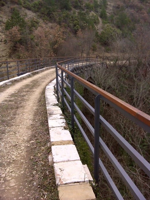
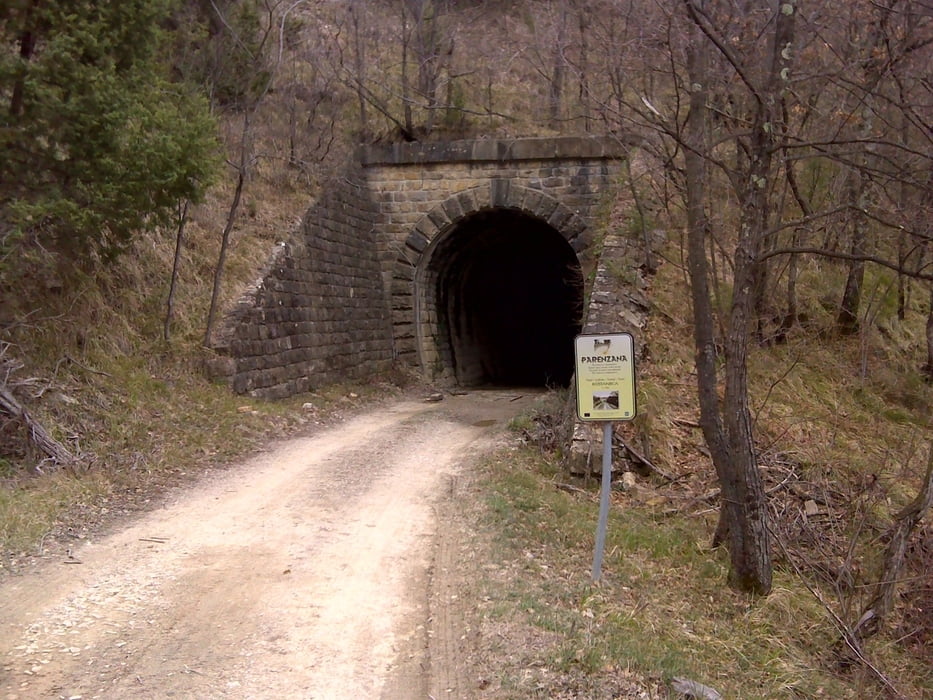
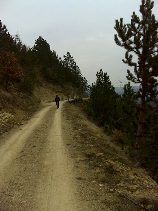
V Bujah po trasi železnice do Vižinade, spust v dolino Mirne in nato po makadamu do Grožnjana. S seboj imejte baterijsko svetilko, ker tuneli niso osvetljeni.

Galerija izletov

Zemljevid in višinski profil izleta

  • Open Street Map
  • Google
Minimum height 7 m Maximum height 301 m Prikaz podrobnosti

More about the tour author

emunda
Member since 2009

Send private message

Komentarji

Poti GPS

Trackpoints
  • GPX / Garmin Map Source (gpx) download
  • TCX / Garmin Training Center® (tcx) download
  • CRS / Garmin Training Center® (crs) download
  • Google Earth (kml) download
  • G7ToWin (g7t) download
  • TTQV (trk) download
  • Overlay (ovl) download
  • Fugawi (txt) download
  • Kompass (DAV) Track (tk) download
  • List z izleti (pdf) download
  • Original file of the author (gpx) download

More about the tour author

emunda
Member since 2009

Send private message
Share track
Add to my favorites
Remove from my favorites
Edit tags
My score
Rate
Izlet: Parenzana-Buje-Vizinada
Vrsta: Gorsko kolo
Dolžina: 62,6 km
Evaluated on:
Trajanje:
Day(s)
Hour(s)
Minute(s)
Ocena: Pokrajina Dejavnik zabave Kondicija Tehnika