Login

Si pozabil/a podatke za prijavo?

Cookies have to be accepted!
Your browser's cookie functionality is disabled. Please enable this functionality.

Not a member yet?

Register now
Login

Available for registred users only

Log in to use this feature.

Si pozabil/a podatke za prijavo?

Cookies have to be accepted!
Your browser's cookie functionality is disabled. Please enable this functionality.

Not a member yet?

Register now
Filter
Kategorije
Advanced filters
  • Dolžina (km)
  • Metri nadmorske višine
Shrani filter Reset filter

TrackRank

QRCode

Technical data

Dolžina9,3 km Metri nadmorske višine167 m Way down217 m Trajanje03:46 h:m Datum03.04.2010
Ocene Author Pokrajina Dejavnik zabave Kondicija Tehnika

Statistika

530 Pogledi Ocene 41 Prenosi Povprečje
Rate
  • List z izleti
  • Prihod
  • Prenosi

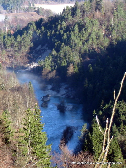
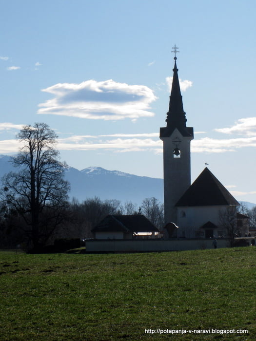
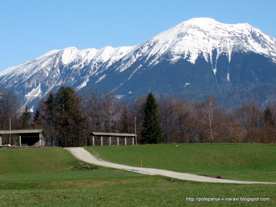
Krožna pot iz Kamne Gorice okrog Ojstre peči.

Further information at

http://potepanja-v-naravi.blogspot.com/2010/04/ojstra-pec.html

Galerija izletov

Zemljevid in višinski profil izleta

  • Open Street Map
  • Google
Minimum height 413 m Maximum height 534 m Prikaz podrobnosti

More about the tour author

ExAmigan
Member since 2009

Send private message

Komentarji

Med Lescami in Radovljico zavijemo desno čez Savo in se skozi Lancovo zapeljemo do Kamne Gorice.

Poti GPS

Trackpoints
  • GPX / Garmin Map Source (gpx) download
  • TCX / Garmin Training Center® (tcx) download
  • CRS / Garmin Training Center® (crs) download
  • Google Earth (kml) download
  • G7ToWin (g7t) download
  • TTQV (trk) download
  • Overlay (ovl) download
  • Fugawi (txt) download
  • Kompass (DAV) Track (tk) download
  • List z izleti (pdf) download
  • Original file of the author (gpx) download

More about the tour author

ExAmigan
Member since 2009

Send private message
Share track
Add to my favorites
Remove from my favorites
Edit tags
My score
Rate
Izlet: Ojstra Peč
Vrsta: Pešačenje
Dolžina: 9,3 km
Evaluated on:
Trajanje:
Day(s)
Hour(s)
Minute(s)
Ocena: Pokrajina Dejavnik zabave Kondicija Tehnika