


Weitere Bilder: www.panoramio.com/photo/20004382
Wie kommt man "einfach" von der S-Bahn Stelle Böblingen-Hulb in den Schwarzwald? Einfach mal die Tour anschauen .....
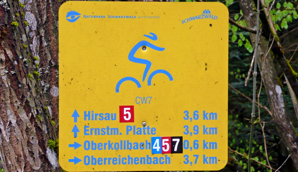
Ziel ist die Überwindung des Nagoldtals. Dieses wird bei Bad Liebenzell www.tourismus.bad-liebenzell.de gemacht. Im Wesentlichen kommen durch die Durchquerung des Nagoldtals auch die Höhenmeter.
Alternativ kann man auch die S-Bahn Haltestelle Weil der Stadt nehmen. Die Tour geht in der Nähe vorbei.
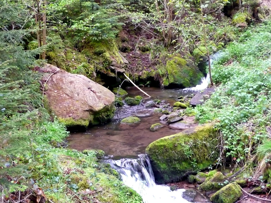
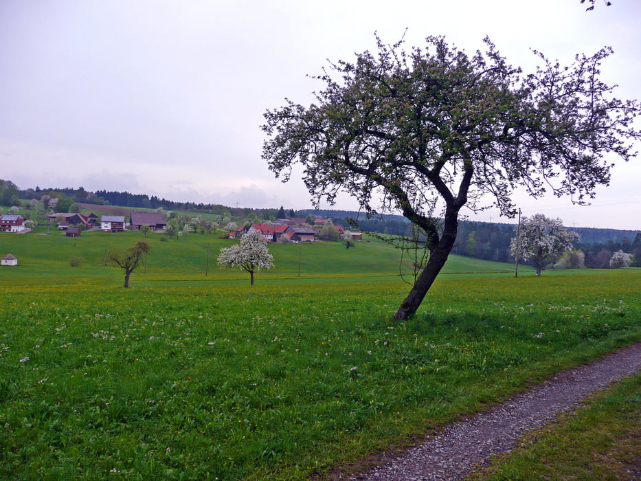
Die Strecke ist meistens auf Wald- bzw. Feldwegen.
Further information at
http://www.schwarzwald-tourismus.info/region/naturparke/naturpark_schwarzwald_mitte_nordGalerija izletov
Zemljevid in višinski profil izleta
Minimum height 319 m
Maximum height 690 m
More about the tour author
|
|
MatthiasBy |
Komentarji

S-Bahn Haltestelle Böblingen-Hulb (www.boeblingen.de) (dort ist auch ein gebührenplichtiger Parkplatz). Im Industriegebiet selbst sind weitere kostenfreie Parkplätze. Wie gesagt: auch Weil der Stadt www.weil-der-stadt.de ist gut, wenn man nicht die ganze Strecke fahren will.
Poti GPS
Trackpoints-
GPX / Garmin Map Source (gpx) download
-
TCX / Garmin Training Center® (tcx) download
-
CRS / Garmin Training Center® (crs) download
-
Google Earth (kml) download
-
G7ToWin (g7t) download
-
TTQV (trk) download
-
Overlay (ovl) download
-
Fugawi (txt) download
-
Kompass (DAV) Track (tk) download
-
List z izleti (pdf) download
-
Original file of the author (gpx) download
More about the tour author
|
|
MatthiasBy |
Add to my favorites
Remove from my favorites
Edit tags
Open track
My score
Rate