


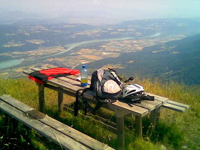
Von Feistritz/Rosental auf Asphalt ins "Bärental" Richtung "Klagenfurter Hütte", bei der "Stou Hütte" rechts auf Schotter weiter bergauf bis zum Ende des Forstweges. Dort Rad liegen lassen und zu Fuß ca. 200 HM steil bergauf bis zum Gipfel. Von dort wunderbare Aussicht über halb Kärnten. Beim Rückweg bei der "Kapelle" links---schöner downhill!
Abschließend noch eine Bitte an alle, die diese Tour nachgefahren sind: seid doch bitte so gut und schreibt als kleines danke schön für den download eure Erfahrung (Kritik)! Das hilft uns allen, die Tour aktuell zu alten! Danke und viel Spaß!
Galerija izletov
Zemljevid in višinski profil izleta
Minimum height 496 m
Maximum height 1680 m
More about the tour author
|
|
wdefner |
Komentarji
Von Villach kommend: A2 Richtung Slowenien, Abfahrt: St.Jakob/Rosental, dann links Richtung Feistritz/Rosental. Von Klagenfurt kommend: Rosentalerstrasse stadtauswärts Richtung Loiblpass (Slowenien), nach der Draubrücke beim Kreisverkehr rechts abbiegen Richtung Feistritz/Rosental
Poti GPS
Trackpoints-
GPX / Garmin Map Source (gpx) download
-
TCX / Garmin Training Center® (tcx) download
-
CRS / Garmin Training Center® (crs) download
-
Google Earth (kml) download
-
G7ToWin (g7t) download
-
TTQV (trk) download
-
Overlay (ovl) download
-
Fugawi (txt) download
-
Kompass (DAV) Track (tk) download
-
List z izleti (pdf) download
-
Original file of the author (gpx) download
More about the tour author
|
|
wdefner |
Add to my favorites
Remove from my favorites
Edit tags
Open track
My score
Rate
Matschachergupf
Danke Wolfram