


English follows German.
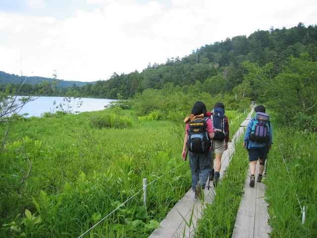
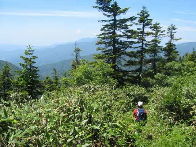
Dieses ist eine zweitägige Reise in den berühmten Oze Sumpflandbereich. Es gibt viele differen die Wege, die hier vorhanden sind, und Sie können Hyuchigatake auch klettern, aber wir didn't haben Zeit. Am ersten Tag kletterten wir von Oshimizu über Sanpei-touge (Pass) zu Oze-numa und blieben an der Chozo-goya Gebirgshütte. Dieses dauerte ungefähr 3 Stunden. Am zweiten Tag gingen wir über Sarafuse und Shirao Berge zu Fujimi-touge (Pass). Von gibt es ihm gehen hinunter eine Kiesautostraße zum Skierholungsort ein langes, in dem wir unser Auto geparkt hatten.
This is a two-day trip into the famous Oze marshland area. There are many differen routes available here, and you can also climb Hyuchigatake, but we didn't have time. On the first day, we climbed from Oshimizu over Sanpei-touge (pass) to Oze-numa, and stayed at the Chozo-goya mountain hut. This took about 3 hours. On the second day we walked over Sarafuse and Shirao mountains to Fujimi-touge (pass). From there it is a long walk down a gravel car road to the ski resort, where we had parked our car.
Dieses ist eine zweitägige Reise in den berühmten Oze Sumpflandbereich. Es gibt viele differen die Wege, die hier vorhanden sind, und Sie können Hyuchigatake auch klettern, aber wir didn't haben Zeit. Am ersten Tag kletterten wir von Oshimizu über Sanpei-touge (Pass) zu Oze-numa und blieben an der Chozo-goya Gebirgshütte. Dieses dauerte ungefähr 3 Stunden. Am zweiten Tag gingen wir über Sarafuse und Shirao Berge zu Fujimi-touge (Pass). Von gibt es ihm gehen hinunter eine Kiesautostraße zum Skierholungsort ein langes, in dem wir unser Auto geparkt hatten.
This is a two-day trip into the famous Oze marshland area. There are many differen routes available here, and you can also climb Hyuchigatake, but we didn't have time. On the first day, we climbed from Oshimizu over Sanpei-touge (pass) to Oze-numa, and stayed at the Chozo-goya mountain hut. This took about 3 hours. On the second day we walked over Sarafuse and Shirao mountains to Fujimi-touge (pass). From there it is a long walk down a gravel car road to the ski resort, where we had parked our car.
Further information at
http://www.malcomson.com/gallery/oze2004Galerija izletov
Zemljevid in višinski profil izleta
Minimum height 1073 m
Maximum height 2000 m
More about the tour author

|
zangezur |
Komentarji

More about the tour author
|
|
zangezur |
Add to my favorites
Remove from my favorites
Edit tags
Open track


My score
Rate