Login

Si pozabil/a podatke za prijavo?

Cookies have to be accepted!
Your browser's cookie functionality is disabled. Please enable this functionality.

Not a member yet?

Register now
Login

Available for registred users only

Log in to use this feature.

Si pozabil/a podatke za prijavo?

Cookies have to be accepted!
Your browser's cookie functionality is disabled. Please enable this functionality.

Not a member yet?

Register now
Filter
Kategorije
Advanced filters
  • Dolžina (km)
  • Metri nadmorske višine
Shrani filter Reset filter

TrackRank

QRCode

Technical data

Dolžina10,2 km Metri nadmorske višine774 m Way down743 m Trajanje04:18 h:m Datum01.08.2010
Ocene Author Pokrajina Dejavnik zabave Kondicija Tehnika

Statistika

669 Pogledi Ocene 23 Prenosi Povprečje
Rate
  • List z izleti
  • Prihod
  • Prenosi

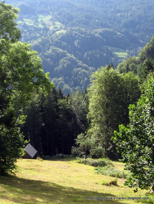
Strm vzpon iz Doline na Kofce in vrnitev po isti poti.

Further information at

http://potepanja-v-naravi.blogspot.com/2010/08/kofce.html

Galerija izletov

Zemljevid in višinski profil izleta

  • Open Street Map
  • Google
Minimum height 732 m Maximum height 1506 m Prikaz podrobnosti

More about the tour author

ExAmigan
Member since 2009

Send private message

Komentarji

Iz Tržiča skozi Dovžanovo sotesko do vasi Dolina.

Poti GPS

Trackpoints
  • GPX / Garmin Map Source (gpx) download
  • TCX / Garmin Training Center® (tcx) download
  • CRS / Garmin Training Center® (crs) download
  • Google Earth (kml) download
  • G7ToWin (g7t) download
  • TTQV (trk) download
  • Overlay (ovl) download
  • Fugawi (txt) download
  • Kompass (DAV) Track (tk) download
  • List z izleti (pdf) download
  • Original file of the author (gpx) download

More about the tour author

ExAmigan
Member since 2009

Send private message
Share track
Add to my favorites
Remove from my favorites
Edit tags
My score
Rate
Izlet: Kofce
Vrsta: Izlet v gore
Dolžina: 10,2 km
Evaluated on:
Trajanje:
Day(s)
Hour(s)
Minute(s)
Ocena: Pokrajina Dejavnik zabave Kondicija Tehnika