


Weitere Bilder: www.panoramio.com/photo/35015546
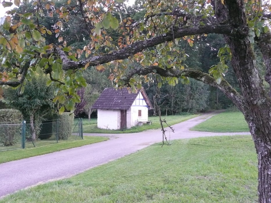
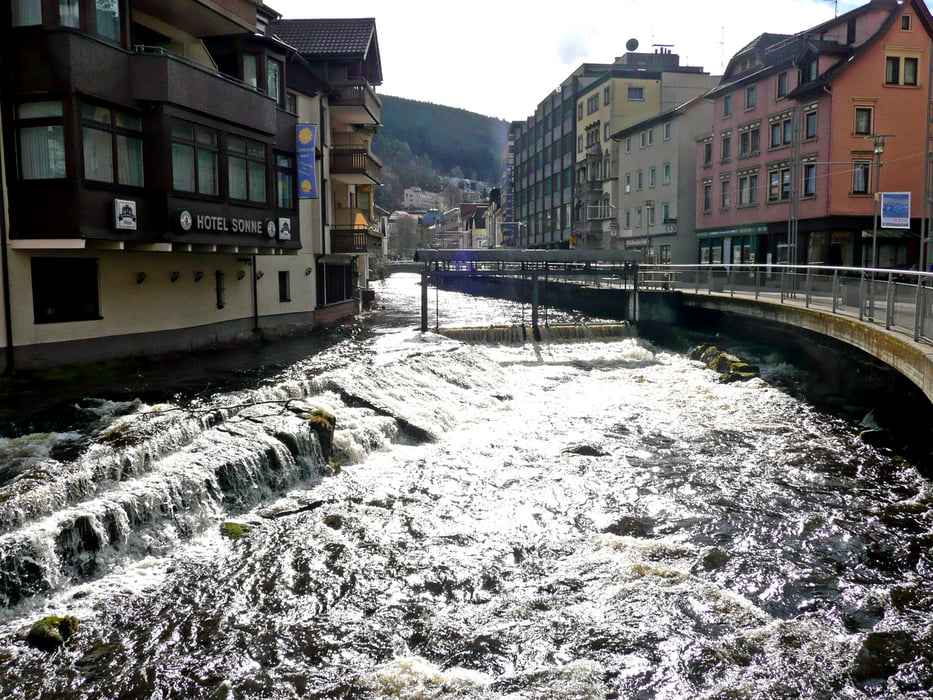
Die Tour startet mitten in Stuttgart am Kleinen Schloßplatz beim Kunstmuseum. Über den Rosensteinpark geht es über den Killesberg an Botnang vorbei und dann zum Bärenschlössle. Nach dem Katzenbacher Hof muss vorläufig die letzte große Steigung genommen werden. Ziel ist dann Aidlingen und dort geht es weiter in den Schwarzwald. Bei der Abfahrt in's Nagoldtal hat der erste Versuch nicht geklappt - Abzweig verpasst. Ab Bahnhof Bad Teinach geht es hoch nach Zavelstein. Noch einen kurzen Anstieg und dann geht es fast nur noch bergab durch ein schönes Tal nach Bad Wildbad.
Am Anfang wird auch dem Radel-Thon gefolgt: http://www.stuttgart.de/item/show/374135/1
Die Strecke geht in der Regel über geschotterte oder geteerte Forst- und Feldwege.
Further information at
http://www.stuttgart-tourist.deGalerija izletov


Zemljevid in višinski profil izleta
Minimum height 159 m
Maximum height 687 m
More about the tour author
|
|
MatthiasBy |
Komentarji

Der Start ist am Kleinen Schloßplatz beim Kunstmuseum in Stuttgart.. Von Bad Wildbad gibt es eine durchgehende Bahnverbindung über Pforzheim zur S-Bahn nach Bietigheim-Bissingen.
Poti GPS
Trackpoints-
GPX / Garmin Map Source (gpx) download
-
TCX / Garmin Training Center® (tcx) download
-
CRS / Garmin Training Center® (crs) download
-
Google Earth (kml) download
-
G7ToWin (g7t) download
-
TTQV (trk) download
-
Overlay (ovl) download
-
Fugawi (txt) download
-
Kompass (DAV) Track (tk) download
-
List z izleti (pdf) download
-
Original file of the author (gpx) download
More about the tour author
|
|
MatthiasBy |
Add to my favorites
Remove from my favorites
Edit tags
Open track
My score
Rate