


Weitere Bilder: www.panoramio.com/photo/14912867
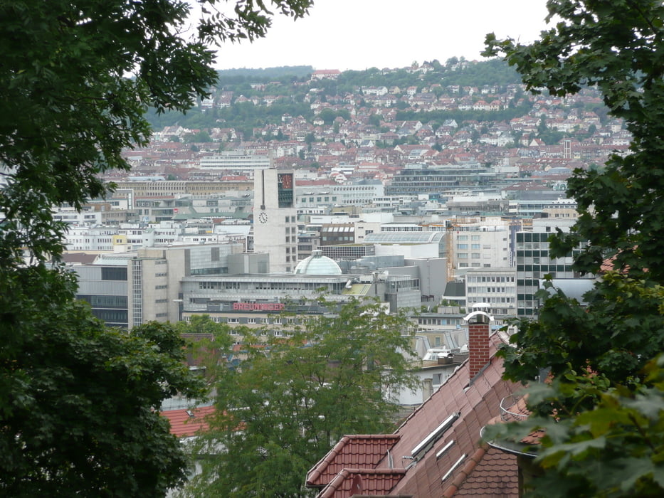
Die Tour startet mitten in Stuttgart in der Königstraße beim Kunstmuseum. Stuttgart wird in Richtung Osten verlassen. Am Anfang ist es oft ziemlich steil. Die Sünderstaffel hoch (Treppen) wird das Fahrrad getragen. Anschließend wird dem Radel-Thon gefolgt:http://www.stuttgart.de/radel-thon. Es geht über Sillenbuch und am Amselwald vorbei Richtung Leinfelden-Echterdingen. Anschließend wird Kurs auf Plochingen genommen. Wer will, kann von Plochingen aus noch nach Schorndorf. Diese Strecke kann noch optimiert werden.
Die Strecke geht in der Regel über geschotterte oder geteerte Forst- und Feldwege.
Further information at
http://www.stuttgart-tourist.deGalerija izletov
Zemljevid in višinski profil izleta
Minimum height 245 m
Maximum height 500 m
More about the tour author
|
|
MatthiasBy |
Komentarji

Der Start ist am Kleinen Schloßplatz beim Kunstmuseum in Stuttgart. Ende ist in Plochingen oder in Schorndorf an der S-Bahn-Station.
Poti GPS
Trackpoints-
GPX / Garmin Map Source (gpx) download
-
TCX / Garmin Training Center® (tcx) download
-
CRS / Garmin Training Center® (crs) download
-
Google Earth (kml) download
-
G7ToWin (g7t) download
-
TTQV (trk) download
-
Overlay (ovl) download
-
Fugawi (txt) download
-
Kompass (DAV) Track (tk) download
-
List z izleti (pdf) download
-
Original file of the author (gpx) download
More about the tour author
|
|
MatthiasBy |
Add to my favorites
Remove from my favorites
Edit tags
Open track
My score
Rate