
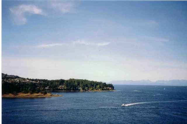

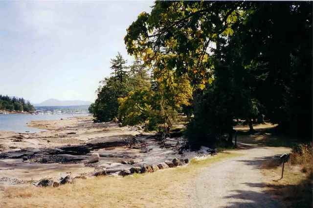
Start der Tour ist das Fährendock im Mafeo-Sutton Park. Von hier legt jede volle Stunde eine Fähre zu der Insel ab. Ist man dort angekommen hält man sich rechts, vorbei an den vielen Campingplätze, die man sich dort mieten kann. Zur Rechten hat man das Meer, und vor sich im Dunst versteckt das Festland der Sunshine Coast. Der Weg führt durch einen verzauberten Wald, wenn auch etwas mehr reguliert als in Kanadischen Gebieten üblich, entlang dem Meer.
Man kommt an zwei Aussichtspunkten vorbei, die man nutzen sollte um ein wenig zu verweilen und den Fähren, Fischerbooten und Wasserflugzeugen zuzusehen.
Gegen Ende ist eine kleine Kletterpartie über Küstenfelsen aus Sandstein angesagt. Man hat einen großartigen Ausblick auf den nur 300 Meter entfernten Jachthafen von Nanaimo.
Zum Abschluß fehlt nur noch das obligatorische Sonnenbad auf den flachen Felsen, um auf die Fähre zurück nach Vancouver Island zu warten. Üblicherweise sieht man sie gerade, in dem Augenblick in dem an verschwitzt aus dem Park zum Dock kommt, ablegen.
Galerija izletov
Zemljevid in višinski profil izleta
Minimum height -26 m
Maximum height 49 m
More about the tour author

|
Komentarji

Ausgangspunkt ist der Hafen von Nanaimo
Poti GPS
Trackpoints-
GPX / Garmin Map Source (gpx) download
-
TCX / Garmin Training Center® (tcx) download
-
CRS / Garmin Training Center® (crs) download
-
Google Earth (kml) download
-
G7ToWin (g7t) download
-
TTQV (trk) download
-
Overlay (ovl) download
-
Fugawi (txt) download
-
Kompass (DAV) Track (tk) download
-
List z izleti (pdf) download
-
Original file of the author (g7t) download
More about the tour author
|
|
Add to my favorites
Remove from my favorites
Edit tags
Open track
My score
Rate