Login

Si pozabil/a podatke za prijavo?

Cookies have to be accepted!
Your browser's cookie functionality is disabled. Please enable this functionality.

Not a member yet?

Register now
Login

Available for registred users only

Log in to use this feature.

Si pozabil/a podatke za prijavo?

Cookies have to be accepted!
Your browser's cookie functionality is disabled. Please enable this functionality.

Not a member yet?

Register now
Filter
Kategorije
Advanced filters
  • Dolžina (km)
  • Metri nadmorske višine
Shrani filter Reset filter

TrackRank

QRCode

Technical data

Dolžina6,2 km Metri nadmorske višine12 m Way down6 m Trajanje02:00 h:m Datum03.10.2010
Ocene Author Pokrajina Dejavnik zabave Kondicija Tehnika

Statistika

3790 Pogledi Ocene 40 Prenosi Povprečje
Rate
  • List z izleti
  • Prihod
  • Prenosi

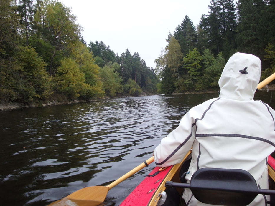
unser Start ist am Bootsanlegesteg wo wir bequem das Faltboot zusammenbauen.

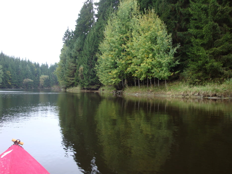
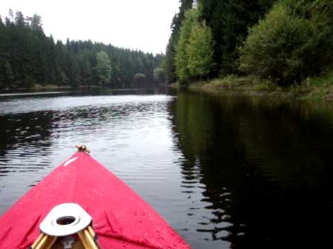
ab hier ist alles möglich, je nach Zeit und Lust kann man bis zum Campingplatz ganz im Osten padeln. Kältebedingt ( 8 ° ) wurde es heute nur eine kurze Tour.

nach Westen soll das militärische Gebiet Allensteig anfangen.

Further information at

http://www.ottensteinersee.at/

Galerija izletov

Zemljevid in višinski profil izleta

  • Open Street Map
  • Google
Minimum height 452 m Maximum height 461 m Prikaz podrobnosti

More about the tour author

ghostrider36
Member since 2008

Send private message

Komentarji

im Navi Mitterreith eingeben, durch Mitterreith durch, dann rechts abbiegen und noch einen km weiter, hier gibt es auch genügend Parkplätze:

N 48 36.934, E 15 15.498

Danach gab es im gemütlichen und rustikalen Gasthaus Hanni einen sehr netten Ausklang. 

Poti GPS

Trackpoints
  • GPX / Garmin Map Source (gpx) download
  • TCX / Garmin Training Center® (tcx) download
  • CRS / Garmin Training Center® (crs) download
  • Google Earth (kml) download
  • G7ToWin (g7t) download
  • TTQV (trk) download
  • Overlay (ovl) download
  • Fugawi (txt) download
  • Kompass (DAV) Track (tk) download
  • List z izleti (pdf) download
  • Original file of the author (gpx) download

More about the tour author

ghostrider36
Member since 2008

Send private message
Share track
Add to my favorites
Remove from my favorites
Edit tags
My score
Rate
Izlet: Stausee Ottenstein
Vrsta: Čoln in kanu
Dolžina: 6,2 km
Evaluated on:
Trajanje:
Day(s)
Hour(s)
Minute(s)
Ocena: Pokrajina Dejavnik zabave Kondicija Tehnika