Login

Si pozabil/a podatke za prijavo?

Cookies have to be accepted!
Your browser's cookie functionality is disabled. Please enable this functionality.

Not a member yet?

Register now
Login

Available for registred users only

Log in to use this feature.

Si pozabil/a podatke za prijavo?

Cookies have to be accepted!
Your browser's cookie functionality is disabled. Please enable this functionality.

Not a member yet?

Register now
Filter
Kategorije
Advanced filters
  • Dolžina (km)
  • Metri nadmorske višine
Shrani filter Reset filter

TrackRank

QRCode

Technical data

Dolžina19,0 km Metri nadmorske višine0 m Way down0 m Trajanje05:00 h:m Datum06.11.2010
Ocene Author Pokrajina Dejavnik zabave Kondicija Tehnika

Statistika

519 Pogledi Ocene 6 Prenosi Povprečje
Rate
  • List z izleti
  • Prihod
  • Prenosi


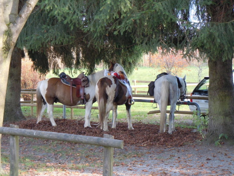
Die Tour beginnt am Parkplatz von der Diskothek Outback (eh. Diskothek Sender) entlang am Wanderweg der Parallel zur Zellgasse verläuft.

Über die Zellgasse und Augartenweg zum Rheinvorland, im Galopp bis zur Schweizer Ecke und übers Rohr zum Rohr Kiosk.
Nach Stärkung ging’s weiter durch den Blatterstall, entlang am Koblacherkanal
zum Parkplatz.


Further information at

http://essen.vol.at/kiosk-am-rohr/lustenau/welcome.asp?filter=k&act=view&lokal=kiosk-am-rohr&ortid=1706

Zemljevid in višinski profil izleta

  • Open Street Map
  • Google
Minimum height 99999 m Maximum height -99999 m Prikaz podrobnosti

More about the tour author

4hufe
Member since 2008

Send private message

Komentarji

zum Parkplatz Diskothek Outback kommt man am besten

Von Deutschland:
A96 nach Pfändertunnel Ausfahrt Wolfurt, Rechts,
nach Holzbrücke Links, nach Weitere Brücke Links,  Link ist der Parkplatz

Von Arlberb/Feldkirch:
A96 Ausfahrt Dornbirn Nord, Kreisverkehr 3 Ausfahrt (B200) vorbei an Doppelmayr Aufzüge nächste Rechts, Links,
nach Holzbrücke Rechts, nach Weitere Brücke Links, Links ist der Parkplatz


Poti GPS

Trackpoints
  • GPX / Garmin Map Source (gpx) download
  • TCX / Garmin Training Center® (tcx) download
  • CRS / Garmin Training Center® (crs) download
  • Google Earth (kml) download
  • G7ToWin (g7t) download
  • TTQV (trk) download
  • Overlay (ovl) download
  • Fugawi (txt) download
  • Kompass (DAV) Track (tk) download
  • List z izleti (pdf) download
  • Original file of the author (gpx) download

More about the tour author

4hufe
Member since 2008

Send private message
Share track
Add to my favorites
Remove from my favorites
Edit tags
My score
Rate
Izlet: 1 x Rund um Lustenau
Vrsta: Ježa
Dolžina: 19,0 km
Evaluated on:
Trajanje:
Day(s)
Hour(s)
Minute(s)
Ocena: Pokrajina Dejavnik zabave Kondicija Tehnika