


Start: Muggendorf , Radweg an der B470
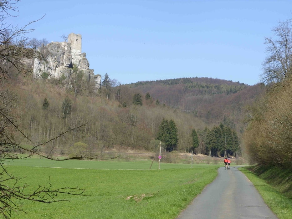
1) Richtung Streitberg - Abzweig nach Wöhr
2) Wöhr - Streitberg, Überqueren der B470 in Streiberg beim Radüberweg (Schild Binghöhle)!
3) Streitberg - Gasseldorf, Einfahrt über kurze Abfahrt nach Gasseldorf - Kreuzung am Ortseingang!
4) Gasseldorf - Unterleinleiter, Abbiegen in Gasseldorf Ortsmitte
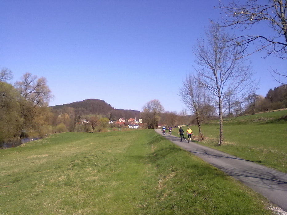
5) Unterleinleiter - Veilbronn, geradeaus durch Unterleinleiter - Kreuzung im Ort!
6) Veilbronn - Heiligenstadt, über neue Radbrücke immer geradeaus - auf der Strecke 2 * Kreuzung!
Gleicher Weg von Heiligenstadt zurück nach Muggendorf
Further information at
http://www.aktiv-in-franken.deGalerija izletov
Zemljevid in višinski profil izleta
Minimum height 337 m
Maximum height 416 m
More about the tour author

|
Robert-Anton |
Komentarji

Von Forchheim auf B 470 Richtung Fränkische Schweiz, vorbei an Ebermannstadt bis Wiesenttal, Ortsteil Muggendorf.
Poti GPS
Trackpoints-
GPX / Garmin Map Source (gpx) download
-
TCX / Garmin Training Center® (tcx) download
-
CRS / Garmin Training Center® (crs) download
-
Google Earth (kml) download
-
G7ToWin (g7t) download
-
TTQV (trk) download
-
Overlay (ovl) download
-
Fugawi (txt) download
-
Kompass (DAV) Track (tk) download
-
List z izleti (pdf) download
-
Original file of the author (gpx) download
More about the tour author
|
|
Robert-Anton |
Add to my favorites
Remove from my favorites
Edit tags
Open track
My score
Rate