


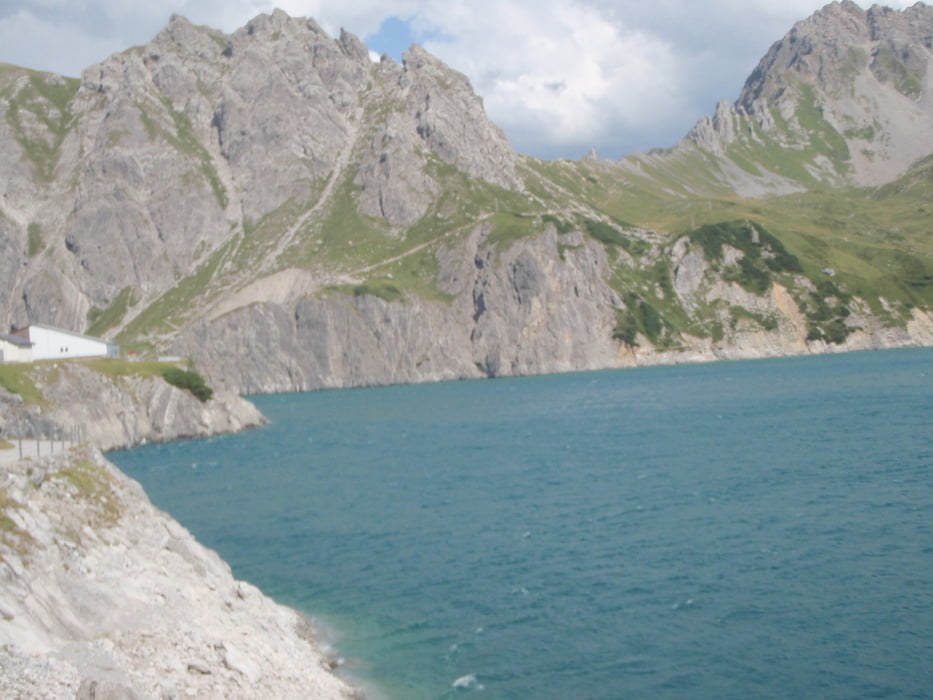
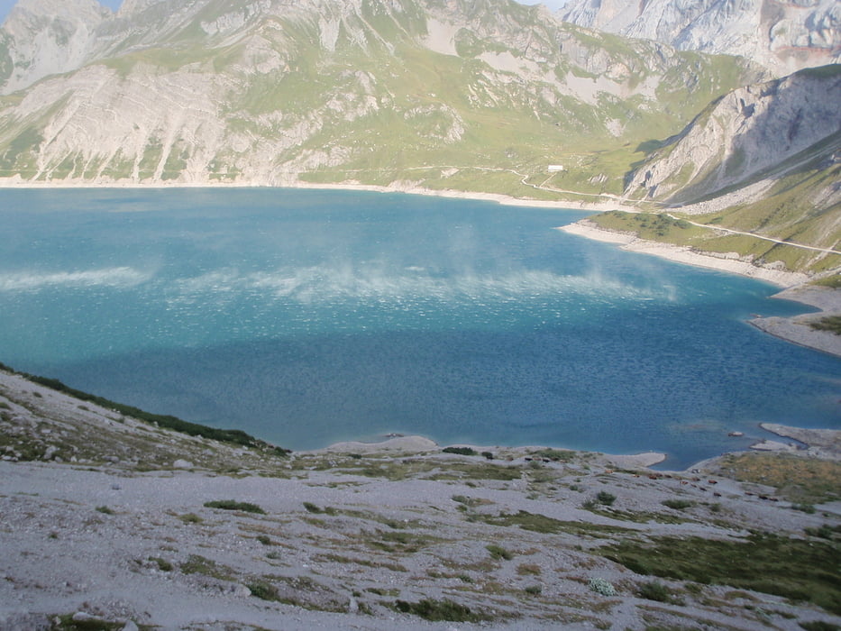
Von Nüziders mit dem Bike nach Bürs, und von hier über den asphltierten Schaßweg nach Brand ab hier weiter über den Schotterweg nach Schattenlagant. Das Bike wird auf dem Parkplatz der Lünersee Seilbahn abgestellt, und zu Fuß kann über den "Bösen Tritt" zum Lünersee gewandert werden. Alternativ besteht natürlich auch die Möglichkeit mit der Seilbahn in kürzester Zeit die 400 Höhenmeter zum Stausee zu überwinden. Nun kann dem Seeweg entlang weiter Richtung Totalphütte gewandert werden.
Bike von Nüziders 600müdM bis Parkplatz Talstation Lünersee Seilbahn 1570müdM 2h . Von der Talstation zu Fuß über "Bösen Tritt" zum Lünersee 1970müdM 30min. Vom Lünersee bis zur Totalphütte 2385müdM in 45min.
http://www.luenerseebahn.at/sommer.htm
Further information at
http://www.totalp.at/Galerija izletov
Zemljevid in višinski profil izleta
Minimum height 546 m
Maximum height 2406 m
More about the tour author
|
|
wueschi |
Komentarji

Start für diese Runde wäre optimal nach der Autobahnabfahrt Bürs der Parkplatz des Zimbapark in Bürs.
Poti GPS
Trackpoints-
GPX / Garmin Map Source (gpx) download
-
TCX / Garmin Training Center® (tcx) download
-
CRS / Garmin Training Center® (crs) download
-
Google Earth (kml) download
-
G7ToWin (g7t) download
-
TTQV (trk) download
-
Overlay (ovl) download
-
Fugawi (txt) download
-
Kompass (DAV) Track (tk) download
-
List z izleti (pdf) download
-
Original file of the author (tcx) download
More about the tour author
|
|
wueschi |
Add to my favorites
Remove from my favorites
Edit tags
Open track
My score
Rate