


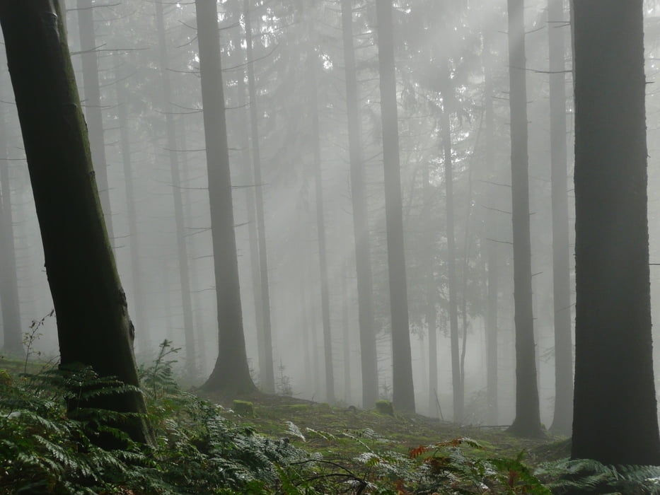
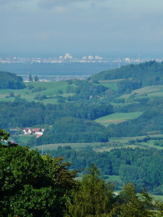
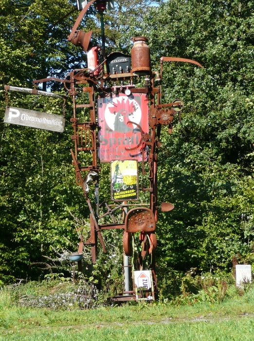
Gestartet wird in Heidelberg. Die Tour ist dadurch gekennzeichnet, dass bis etwa Lindenfels auf schönen Wald- und Forstwegen, z. T. auf Pfaden gefahren wird. Einmal im Wald war der Weg auch zu Ende, war aber kein Problem. Dann werden in Regel Straßen bis nach Brandnau genommen. Die Aussichten sind zum Teil grandios, sowohl in das Rheintal als auch in Odenwald. Oft wird auf einem Höhenweg gefahren. Interessant ist auch der Kunstweg in Wald-Michelbach (Kunstweg auf der Tromm). Schöne Gaststätten gibt es unterwegs. Empfehlenswert: Grüner Baum in Neunkirchen.
Die Tour selbst wird in Brandau abgebrochen.
Weitere Bilder unter: www.panoramio.com/photo/58778739
Further information at
http://www.odenwald.de/Galerija izletov

Zemljevid in višinski profil izleta
Minimum height 107 m
Maximum height 589 m
More about the tour author
|
|
MatthiasBy |
Komentarji

Angereist wurde mit der Bahn. Somit war der Startpunkt der Hauptbahnhof in Heidelberg.
Weitere Infos auch unter: www.odenwald.de/
Poti GPS
Trackpoints-
GPX / Garmin Map Source (gpx) download
-
TCX / Garmin Training Center® (tcx) download
-
CRS / Garmin Training Center® (crs) download
-
Google Earth (kml) download
-
G7ToWin (g7t) download
-
TTQV (trk) download
-
Overlay (ovl) download
-
Fugawi (txt) download
-
Kompass (DAV) Track (tk) download
-
List z izleti (pdf) download
-
Original file of the author (gpx) download
More about the tour author
|
|
MatthiasBy |
Add to my favorites
Remove from my favorites
Edit tags
Open track
My score
Rate