Login

Si pozabil/a podatke za prijavo?

Cookies have to be accepted!
Your browser's cookie functionality is disabled. Please enable this functionality.

Not a member yet?

Register now
Login

Available for registred users only

Log in to use this feature.

Si pozabil/a podatke za prijavo?

Cookies have to be accepted!
Your browser's cookie functionality is disabled. Please enable this functionality.

Not a member yet?

Register now
Filter
Kategorije
Advanced filters
  • Dolžina (km)
  • Metri nadmorske višine
Shrani filter Reset filter

TrackRank

QRCode

Technical data

Dolžina265,8 km Metri nadmorske višine9574 m Way down9565 m Trajanje00:00 h:m Datum18.02.2012
Ocene Author Pokrajina Dejavnik zabave Kondicija Tehnika

Statistika

487 Pogledi Ocene 50 Prenosi Povprečje
Rate
  • List z izleti
  • Prihod
  • Prenosi

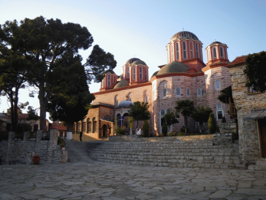
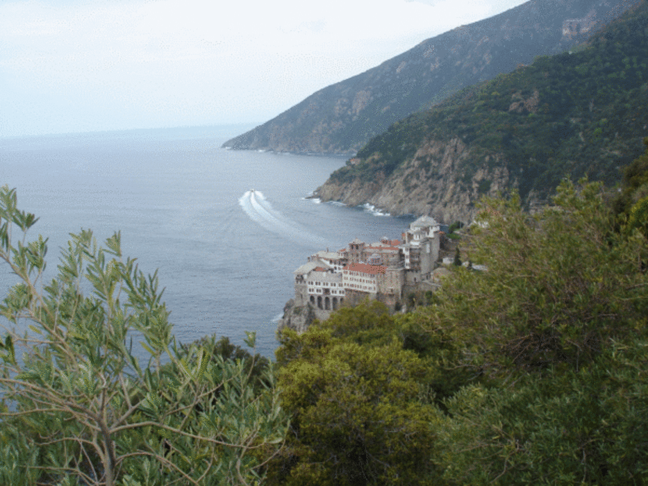
Simons Petras - Grigoriou - Dionysiou. Ag. Pavlou - Ag. Annis - Stavros - Panagia - sk. Prodromou - Megistris Lavras. Iviron - Karyai - Tsouknidi - Pantokratoros. Vatopaidiou - Konstamonitou - Dochariou - Xenophontos.

It might be of interest for you that there is a digital Athos Map available at http://members.aon.at/~hhausman/athos_map.htm. It can be used for Garmin GPS devices (via Mapsource or BaseCamp), mobile phones, etc.


Further information at

http://members.aon.at/~hhausman/athos_map.htm

Galerija izletov

Zemljevid in višinski profil izleta

  • Open Street Map
  • Google
Minimum height -9 m Maximum height 1579 m Prikaz podrobnosti

More about the tour author

e7725346
Member since 2012

Send private message

Komentarji

Poti GPS

Trackpoints
  • GPX / Garmin Map Source (gpx) download
  • TCX / Garmin Training Center® (tcx) download
  • CRS / Garmin Training Center® (crs) download
  • Google Earth (kml) download
  • G7ToWin (g7t) download
  • TTQV (trk) download
  • Overlay (ovl) download
  • Fugawi (txt) download
  • Kompass (DAV) Track (tk) download
  • List z izleti (pdf) download
  • Original file of the author (gpx) download

More about the tour author

e7725346
Member since 2012

Send private message
Share track
Add to my favorites
Remove from my favorites
Edit tags
My score
Rate
Izlet: Wandern am Athos 2007-2010
Vrsta: Izlet v gore
Dolžina: 265,8 km
Evaluated on:
Trajanje:
Day(s)
Hour(s)
Minute(s)
Ocena: Pokrajina Dejavnik zabave Kondicija Tehnika