
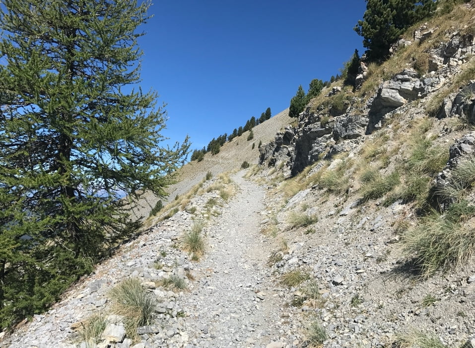

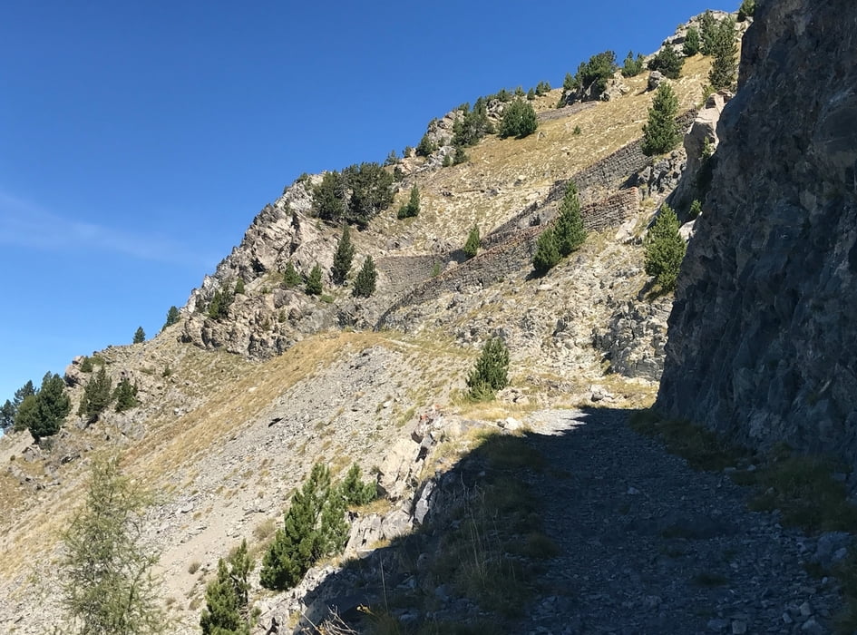
Tour auf den Col Bas.
Die Runde zurück auf den Berg kann man sich sparen, (ab km 34,3 einfach nicht nach rechts nochmal zurück zum Col bas, sondern gleich runterfahren), denn zum Berg hoch da gibt es keinen Weg.
Hinab ist ziemlich steil, dauernd bremsen, es gibt aber einen anderen Weg hinab, auf der Karte schauen!.
Der Kollege, der die Tour eingestellt hat, ist den Weg, den man eigentlich runter fahren sollte hochgekommen:
https://www.gps-tour.info/de/touren/detail.41829.html
Further information at
https://randypanguitch.wordpress.com/randy-panguitch-startseite/mtb-touren/tagestouren/tagestouren_frankreich/2017_09_ubaye/Túra fotóalbuma
Túratérkép és magasságprofil
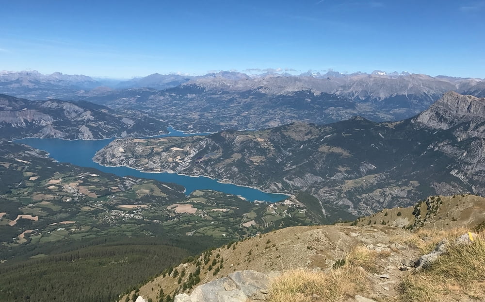
Minimum height 849 m
Maximum height 2489 m
More about the tour author
|
|
RandB |
Megjegyzések

GPS trackek
Trackpoints-
GPX / Garmin Map Source (gpx) download
-
TCX / Garmin Training Center® (tcx) download
-
CRS / Garmin Training Center® (crs) download
-
Google Earth (kml) download
-
G7ToWin (g7t) download
-
TTQV (trk) download
-
Overlay (ovl) download
-
Fugawi (txt) download
-
Kompass (DAV) Track (tk) download
-
Túralap (pdf) download
-
Original file of the author (gpx) download
More about the tour author
|
|
RandB |
Add to my favorites
Remove from my favorites
Edit tags
Open track
My score
Rate