Login

Zapomniałeś swój login?

Cookies have to be accepted!
Your browser's cookie functionality is disabled. Please enable this functionality.

Not a member yet?

Register now
Login

Available for registred users only

Log in to use this feature.

Zapomniałeś swój login?

Cookies have to be accepted!
Your browser's cookie functionality is disabled. Please enable this functionality.

Not a member yet?

Register now
Filter
Kategorie
Advanced filters
  • Długość (km)
  • Wysokość
Zapisz filtr Reset filter

TrackRank

QRCode

Technical data

Długość36,1 km Wysokość614 m Way down616 m Czas trwania02:15 h:m Data21.08.2012
Oceny Author Krajobraz Czynnik zadowolenia Kondycja Technika

Statystyka

1212 Widoki 1 Ocena 143 Downloads / Pliki do pobrania 5.00 Przeciętnie
Rate
  • Karta trasy
  • Dojazd
  • Downloads / Pliki do pobrania


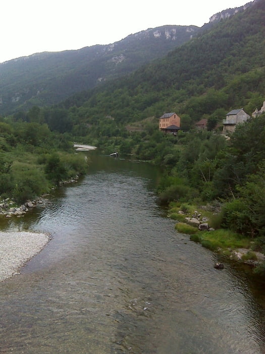
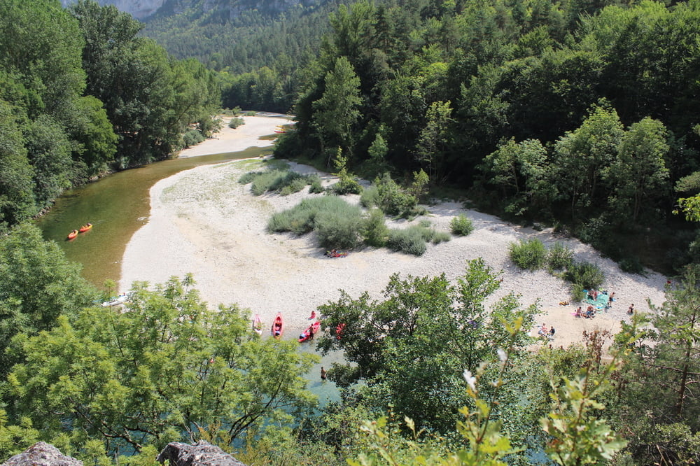
Führt zunächst vom Talboden der Tarn hinauf auf die Hochebene. Anschließend geht es mehr oder weniger horizontal. Dann wieder über Serpentinen in das Tarntal hinab und schließlich auf Niveau des Flusses durch das Tarntal hindurch.
Sehr beeindruckende Landschaft.


Further information at

http://www.languedoc-online.de/gorges-tarn.htm

Galeria trasy

Mapa trasy i profil wysokości

  • Open Street Map
  • Google
Minimum height 406 m Maximum height 933 m Widok szczegółowy

More about the tour author

erni0815
Member since 2010

Send private message

Komentarze

Es kann bei jeden beliebigen Punkt der Route gestartet werden.

GPS tracks

Trackpoints
  • GPX / Garmin Map Source (gpx) download
  • TCX / Garmin Training Center® (tcx) download
  • CRS / Garmin Training Center® (crs) download
  • Google Earth (kml) download
  • G7ToWin (g7t) download
  • TTQV (trk) download
  • Overlay (ovl) download
  • Fugawi (txt) download
  • Kompass (DAV) Track (tk) download
  • Karta trasy (pdf) download
  • Original file of the author (gpx) download

More about the tour author

erni0815
Member since 2010

Send private message
Share track
Add to my favorites
Remove from my favorites
Edit tags
My score
Rate
Trasa: Gorgs du Tarn einmal rauf und runter
Rodzaj: Rower górski (MTB)
Długość: 36,1 km
Evaluated on:
Czas trwania:
Day(s)
Hour(s)
Minute(s)
Ocena: Krajobraz Czynnik zadowolenia Kondycja Technika