


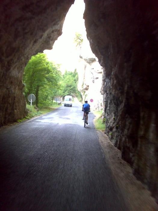
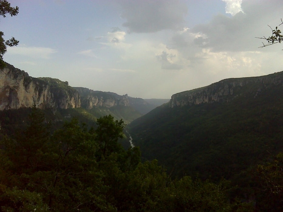
Führt zunächst vom Talboden der Tarn hinauf auf die Hochebene. Anschließend geht es mehr oder weniger horizontal. Dann wieder über Serpentinen in das Tarntal hinab und schließlich auf Niveau des Flusses durch das Tarntal hindurch.
Die Strecke ist durchwegs asphaltiert. Am Hochplateau besteht die Möglichkeit über unbefestigte Wege an den Bergrand heranzufahren.
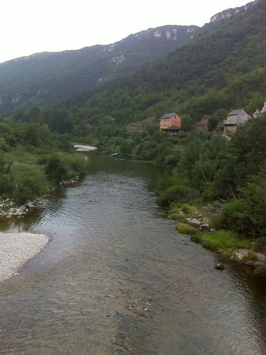
In der Tarn kann man nach der Tour wunderbar an verschiedenen Stellen schwimmen gehen.
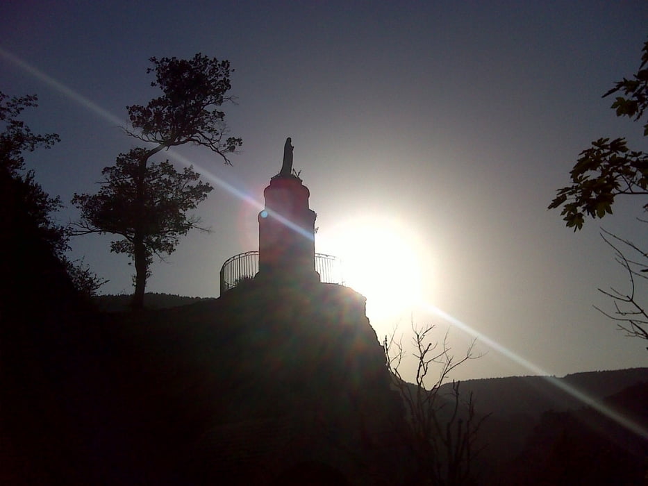
Sehr beeindruckende Landschaft.
Im Somm darf die Wasserflasche keinesfalls vergessen werden!
Die Strecke ist durchwegs asphaltiert. Am Hochplateau besteht die Möglichkeit über unbefestigte Wege an den Bergrand heranzufahren.
In der Tarn kann man nach der Tour wunderbar an verschiedenen Stellen schwimmen gehen.
Sehr beeindruckende Landschaft.
Im Somm darf die Wasserflasche keinesfalls vergessen werden!
Further information at
http://www.languedoc-online.de/gorges-tarn.htmGaleria trasy
Mapa trasy i profil wysokości
Minimum height 414 m
Maximum height 951 m
More about the tour author

|
erni0815 |
Komentarze

Es kann an jeder Stelle die Rundfahrt gestartet werden.
GPS tracks
Trackpoints-
GPX / Garmin Map Source (gpx) download
-
TCX / Garmin Training Center® (tcx) download
-
CRS / Garmin Training Center® (crs) download
-
Google Earth (kml) download
-
G7ToWin (g7t) download
-
TTQV (trk) download
-
Overlay (ovl) download
-
Fugawi (txt) download
-
Kompass (DAV) Track (tk) download
-
Karta trasy (pdf) download
-
Original file of the author (gpx) download
More about the tour author
|
|
erni0815 |
Add to my favorites
Remove from my favorites
Edit tags
Open track
My score
Rate