Login

Zapomniałeś swój login?

Cookies have to be accepted!
Your browser's cookie functionality is disabled. Please enable this functionality.

Not a member yet?

Register now
Login

Available for registred users only

Log in to use this feature.

Zapomniałeś swój login?

Cookies have to be accepted!
Your browser's cookie functionality is disabled. Please enable this functionality.

Not a member yet?

Register now
Filter
Kategorie
Advanced filters
  • Długość (km)
  • Wysokość
Zapisz filtr Reset filter

TrackRank

QRCode

Technical data

Długość20,1 km Wysokość75 m Way down23 m Czas trwania04:00 h:m Data04.09.2012
Oceny Author Krajobraz Czynnik zadowolenia Kondycja Technika

Statystyka

1517 Widoki Oceny 16 Downloads / Pliki do pobrania Przeciętnie
Rate
  • Karta trasy
  • Dojazd
  • Downloads / Pliki do pobrania
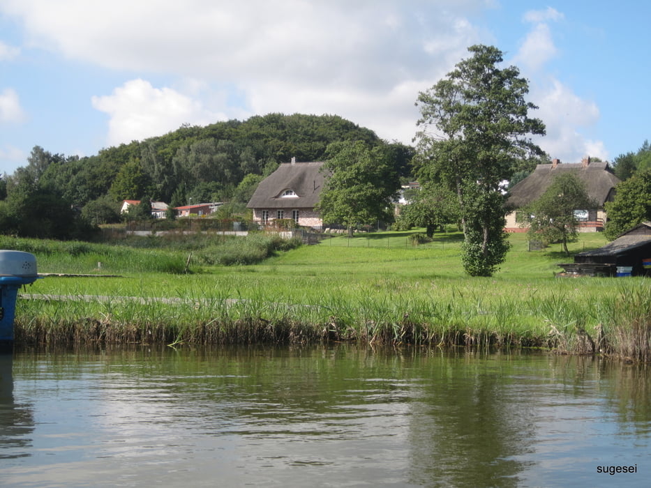
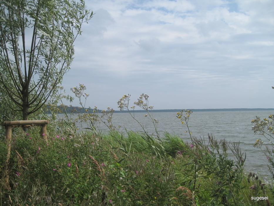
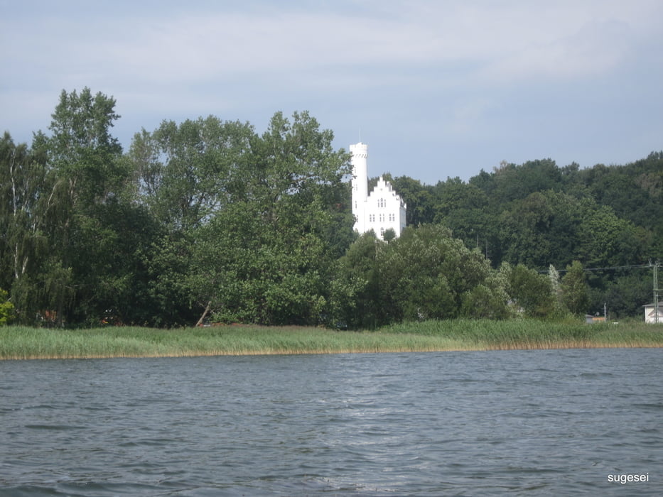
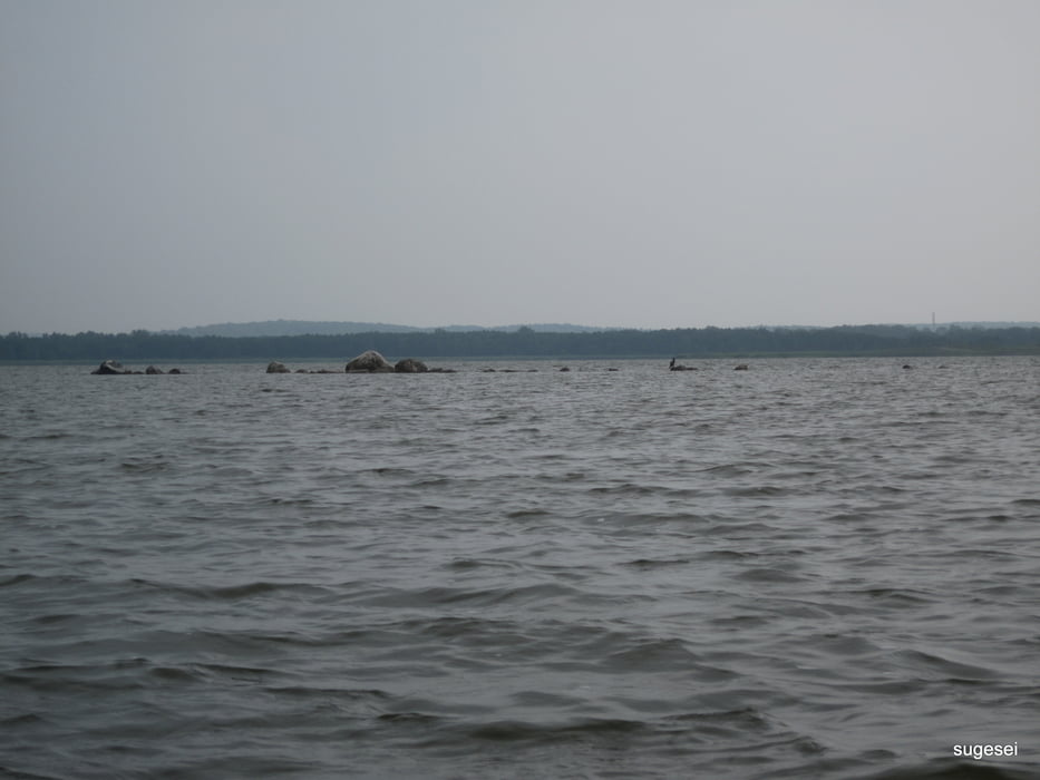
Eine der landschaftlich schönsten und einsamsten Gegenden auf Rügen. Es gibt nur sehe wenige Anlandemöglichkeiten, da die gesamte Umgebung unter Naturschutz steht und dichtes Schilf den Bodden säumt. Je nach Windrichtung starker Wellengang am jeweiligen Seende. Der einzigen Seezugang ist von Buschvitz aus an einem Einsatz der Feuerwehr für Rettungszwecke oder dann am anderen Ende in Litzow. Wir haben 4 Seeadler gesehen und 2 Fischerboote, einfach toll. Im Prinzip 10 km Strecke ohne Landgang.

Galeria trasy

Mapa trasy i profil wysokości

  • Open Street Map
  • Google
Minimum height -26 m Maximum height 50 m Widok szczegółowy

More about the tour author

sugesei
Member since 2010

Send private message

Komentarze

Entweder nach Litzow auf die Halbinsel oder von Buschwitz aus. Windrichtung beachten. Man ist echt allein unterwegs.

GPS tracks

Trackpoints
  • GPX / Garmin Map Source (gpx) download
  • TCX / Garmin Training Center® (tcx) download
  • CRS / Garmin Training Center® (crs) download
  • Google Earth (kml) download
  • G7ToWin (g7t) download
  • TTQV (trk) download
  • Overlay (ovl) download
  • Fugawi (txt) download
  • Kompass (DAV) Track (tk) download
  • Karta trasy (pdf) download
  • Original file of the author (gpx) download

More about the tour author

sugesei
Member since 2010

Send private message
Share track
Add to my favorites
Remove from my favorites
Edit tags
My score
Rate
Trasa: Kleiner Jasmunder Bodden
Rodzaj: Łodzi i kajaków
Długość: 20,1 km
Evaluated on:
Czas trwania:
Day(s)
Hour(s)
Minute(s)
Ocena: Krajobraz Czynnik zadowolenia Kondycja Technika