Login

Zapomniałeś swój login?

Cookies have to be accepted!
Your browser's cookie functionality is disabled. Please enable this functionality.

Not a member yet?

Register now
Login

Available for registred users only

Log in to use this feature.

Zapomniałeś swój login?

Cookies have to be accepted!
Your browser's cookie functionality is disabled. Please enable this functionality.

Not a member yet?

Register now
Filter
Kategorie
Advanced filters
  • Długość (km)
  • Wysokość
Zapisz filtr Reset filter

TrackRank

QRCode

Technical data

Długość9,4 km Wysokość452 m Way down441 m Czas trwania04:00 h:m Data01.04.2013
Oceny Author Krajobraz Czynnik zadowolenia Kondycja Technika

Statystyka

808 Widoki Oceny 29 Downloads / Pliki do pobrania Przeciętnie
Rate
  • Karta trasy
  • Dojazd
  • Downloads / Pliki do pobrania

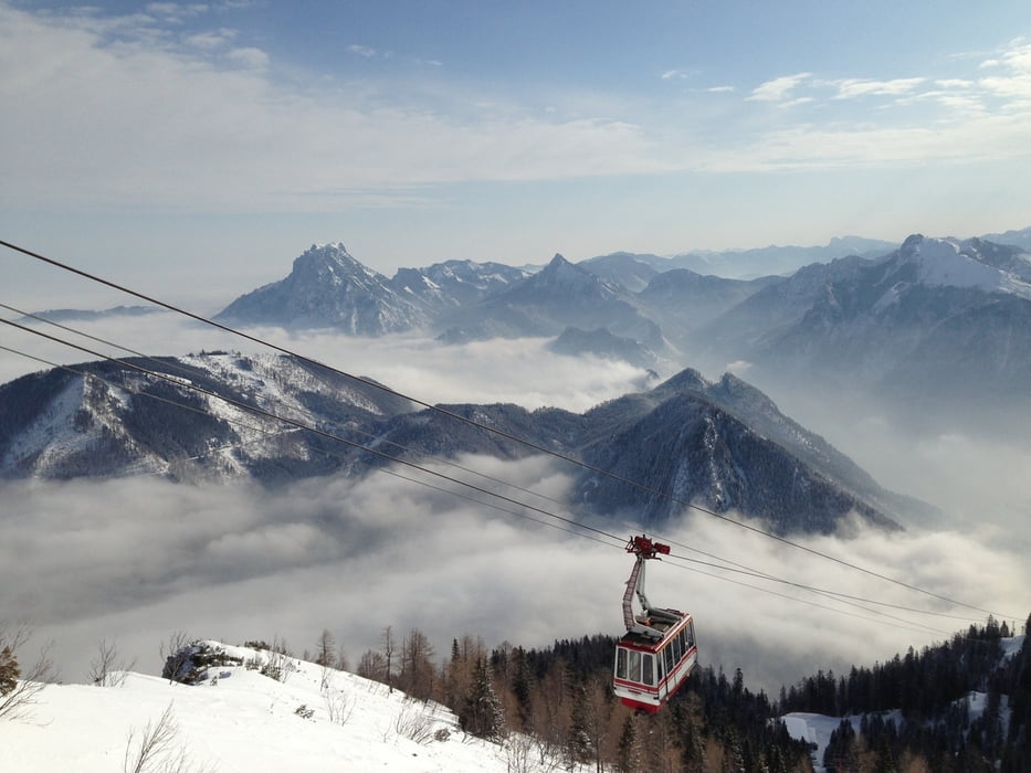
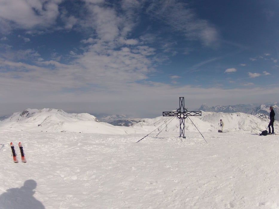
Schöne Tour mit Schneeschuhen ausgehend von der Bergstation der Feuerkogelbahn zum großen Höllkogel auf 1862m.

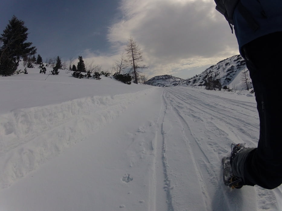
Wenn man zeitig aufbricht ist auch eine entspannte Einkehr auf der Riederhütte noch gut möglich - hier ist leider nur über einen kleinen "Umweg" mit den Schneeschuhen hinzukommen. Wer mit Tourenski unterwegs ist kann direkt vom Gipfel zur Hütte abfahren.

Galeria trasy

Mapa trasy i profil wysokości

  • Open Street Map
  • Google
Minimum height 1530 m Maximum height 1864 m Widok szczegółowy

More about the tour author

kasseopeia
Member since 2012

Send private message

Komentarze

GPS tracks

Trackpoints
  • GPX / Garmin Map Source (gpx) download
  • TCX / Garmin Training Center® (tcx) download
  • CRS / Garmin Training Center® (crs) download
  • Google Earth (kml) download
  • G7ToWin (g7t) download
  • TTQV (trk) download
  • Overlay (ovl) download
  • Fugawi (txt) download
  • Kompass (DAV) Track (tk) download
  • Karta trasy (pdf) download
  • Original file of the author (gpx) download

More about the tour author

kasseopeia
Member since 2012

Send private message
Share track
Add to my favorites
Remove from my favorites
Edit tags
My score
Rate
Trasa: Großer Höllkogel
Rodzaj: Rakiety śnieżne
Długość: 9,4 km
Evaluated on:
Czas trwania:
Day(s)
Hour(s)
Minute(s)
Ocena: Krajobraz Czynnik zadowolenia Kondycja Technika