Login

Zapomniałeś swój login?

Cookies have to be accepted!
Your browser's cookie functionality is disabled. Please enable this functionality.

Not a member yet?

Register now
Login

Available for registred users only

Log in to use this feature.

Zapomniałeś swój login?

Cookies have to be accepted!
Your browser's cookie functionality is disabled. Please enable this functionality.

Not a member yet?

Register now
Filter
Kategorie
Advanced filters
  • Długość (km)
  • Wysokość
Zapisz filtr Reset filter

TrackRank

QRCode

Technical data

Długość7,5 km Wysokość911 m Way down885 m Czas trwania02:45 h:m Data20.07.2013
Oceny Author Krajobraz Czynnik zadowolenia Kondycja Technika

Statystyka

187 Widoki Oceny 16 Downloads / Pliki do pobrania Przeciętnie
Rate
  • Karta trasy
  • Dojazd
  • Downloads / Pliki do pobrania

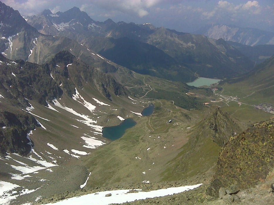
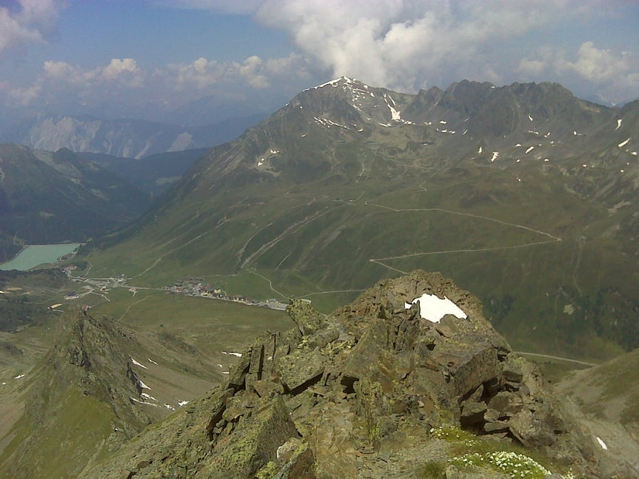
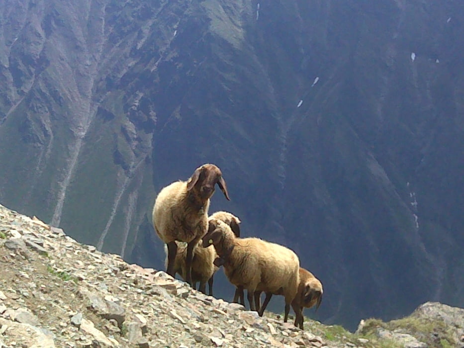
Klassischer Bergtour bei Kühtai.

Auffahrt besteht mit Drei-Seen-Bahn (Erwachsene 13 Euro; Kinder 6,50Euro - Stand Sommer 2013). Einstieg  Bahn bei Startpunkt des Traks.

Mann kann selbstverständlich auch ohne Bahn aufsteigen; dann sind es aber ca. 870 hm.

Weg ist teilweise ausgesetzt. Jedenfalls die Turnschuhe zuhause lassen und Bergschuhe anziehen!


Further information at

http://www.kuehtai.info/sommerurlaub/home.html

Galeria trasy

Mapa trasy i profil wysokości

  • Open Street Map
  • Google
Minimum height 1942 m Maximum height 2806 m Widok szczegółowy

More about the tour author

erni0815
Member since 2010

Send private message

Komentarze

GPS tracks

Trackpoints
  • GPX / Garmin Map Source (gpx) download
  • TCX / Garmin Training Center® (tcx) download
  • CRS / Garmin Training Center® (crs) download
  • Google Earth (kml) download
  • G7ToWin (g7t) download
  • TTQV (trk) download
  • Overlay (ovl) download
  • Fugawi (txt) download
  • Kompass (DAV) Track (tk) download
  • Karta trasy (pdf) download
  • Original file of the author (gpx) download

More about the tour author

erni0815
Member since 2010

Send private message
Share track
Add to my favorites
Remove from my favorites
Edit tags
My score
Rate
Trasa: Gaiskogl
Rodzaj: Trasy górskie
Długość: 7,5 km
Evaluated on:
Czas trwania:
Day(s)
Hour(s)
Minute(s)
Ocena: Krajobraz Czynnik zadowolenia Kondycja Technika