Login

Zapomniałeś swój login?

Cookies have to be accepted!
Your browser's cookie functionality is disabled. Please enable this functionality.

Not a member yet?

Register now
Login

Available for registred users only

Log in to use this feature.

Zapomniałeś swój login?

Cookies have to be accepted!
Your browser's cookie functionality is disabled. Please enable this functionality.

Not a member yet?

Register now
Filter
Kategorie
Advanced filters
  • Długość (km)
  • Wysokość
Zapisz filtr Reset filter

TrackRank

QRCode

Technical data

Długość12,6 km Wysokość774 m Way down714 m Czas trwania00:00 h:m Data07.04.2014
Oceny Author Krajobraz Czynnik zadowolenia Kondycja Technika

Statystyka

1673 Widoki Oceny 11 Downloads / Pliki do pobrania Przeciętnie
Rate
  • Karta trasy
  • Dojazd
  • Downloads / Pliki do pobrania
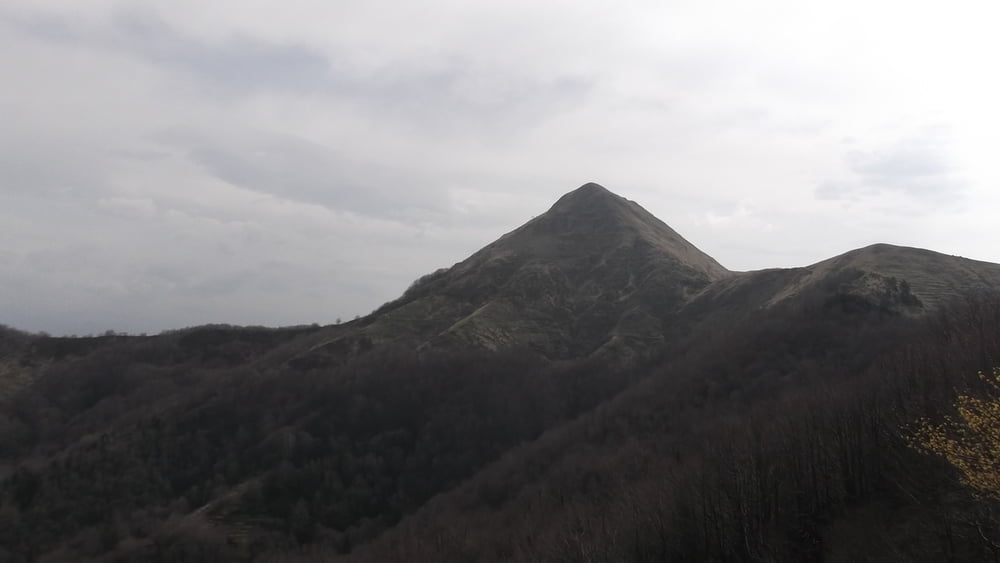
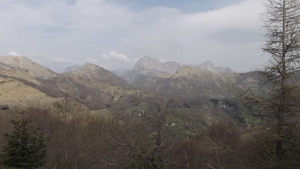
passeggiata medio impegnativa su monti che permettono una bellissimo panorama su tutta la versilia.

Further information at

http://www.alpiapuane.it/rifugi/104-rifugio-matanna.html

Galeria trasy

Mapa trasy i profil wysokości

  • Open Street Map
  • Google
Minimum height 1023 m Maximum height 1363 m Widok szczegółowy

More about the tour author

poloncino
Member since 2012

Send private message

Komentarze

Da lucca procedere direzione abetone poi

- da Pescaglia -

in auto per una carrozzabile che attraversa prima la Foce di Sella, il paese di Pascoso,

la Foce di Bucino per poi arrivare ad Alto Matanna.
 

GPS tracks

Trackpoints
  • GPX / Garmin Map Source (gpx) download
  • TCX / Garmin Training Center® (tcx) download
  • CRS / Garmin Training Center® (crs) download
  • Google Earth (kml) download
  • G7ToWin (g7t) download
  • TTQV (trk) download
  • Overlay (ovl) download
  • Fugawi (txt) download
  • Kompass (DAV) Track (tk) download
  • Karta trasy (pdf) download
  • Original file of the author (gpx) download

More about the tour author

poloncino
Member since 2012

Send private message
Share track
Add to my favorites
Remove from my favorites
Edit tags
My score
Rate
Trasa: MontePiglione-MonteMatanna
Rodzaj: ATV-Quad
Długość: 12,6 km
Evaluated on:
Czas trwania:
Day(s)
Hour(s)
Minute(s)
Ocena: Krajobraz Czynnik zadowolenia Kondycja Technika