Login

Zapomniałeś swój login?

Cookies have to be accepted!
Your browser's cookie functionality is disabled. Please enable this functionality.

Not a member yet?

Register now
Login

Available for registred users only

Log in to use this feature.

Zapomniałeś swój login?

Cookies have to be accepted!
Your browser's cookie functionality is disabled. Please enable this functionality.

Not a member yet?

Register now
Filter
Kategorie
Advanced filters
  • Długość (km)
  • Wysokość
Zapisz filtr Reset filter

TrackRank

QRCode

Technical data

Długość49,9 km Wysokość1171 m Way down1161 m Czas trwania02:50 h:m Data07.08.2014
Oceny Author Krajobraz Czynnik zadowolenia Kondycja Technika

Statystyka

383 Widoki Oceny 46 Downloads / Pliki do pobrania Przeciętnie
Rate
  • Karta trasy
  • Dojazd
  • Downloads / Pliki do pobrania

Mit Crosser ist Fahrtechnik empfehlenswert, mit dem MTB 

kein Problem. Trailanteil gering. Größtenteils Forstwege und etwas Asphalt.
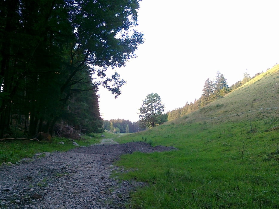
Galeria trasy

Mapa trasy i profil wysokości

  • Open Street Map
  • Google
Minimum height 605 m Maximum height 1048 m Widok szczegółowy

More about the tour author

CF2008
Member since 2011

Send private message

Komentarze

GPS tracks

Trackpoints
  • GPX / Garmin Map Source (gpx) download
  • TCX / Garmin Training Center® (tcx) download
  • CRS / Garmin Training Center® (crs) download
  • Google Earth (kml) download
  • G7ToWin (g7t) download
  • TTQV (trk) download
  • Overlay (ovl) download
  • Fugawi (txt) download
  • Kompass (DAV) Track (tk) download
  • Karta trasy (pdf) download
  • Original file of the author (gpx) download

More about the tour author

CF2008
Member since 2011

Send private message
Share track
Add to my favorites
Remove from my favorites
Edit tags
My score
Rate
Trasa: Cyclocross um den Spitzstein
Rodzaj: Rower górski (MTB)
Długość: 49,9 km
Evaluated on:
Czas trwania:
Day(s)
Hour(s)
Minute(s)
Ocena: Krajobraz Czynnik zadowolenia Kondycja Technika