Login

Zapomniałeś swój login?

Cookies have to be accepted!
Your browser's cookie functionality is disabled. Please enable this functionality.

Not a member yet?

Register now
Login

Available for registred users only

Log in to use this feature.

Zapomniałeś swój login?

Cookies have to be accepted!
Your browser's cookie functionality is disabled. Please enable this functionality.

Not a member yet?

Register now
Filter
Kategorie
Advanced filters
  • Długość (km)
  • Wysokość
Zapisz filtr Reset filter

TrackRank

QRCode

Technical data

Długość19,8 km Wysokość171 m Way down178 m Czas trwania06:00 h:m Data20.10.2014
Oceny Author Krajobraz Czynnik zadowolenia Kondycja Technika

Statystyka

618 Widoki Oceny 26 Downloads / Pliki do pobrania Przeciętnie
Rate
  • Karta trasy
  • Dojazd
  • Downloads / Pliki do pobrania

Further information at

http://thorsten-bachner.de

Galeria trasy

Mapa trasy i profil wysokości
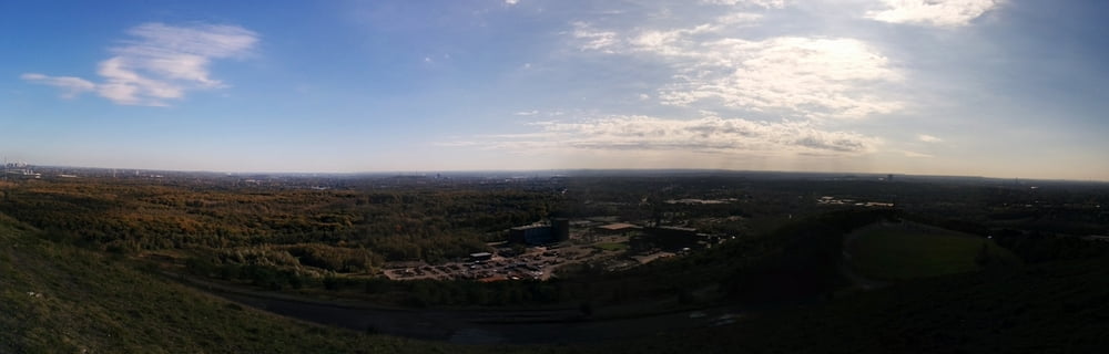
  • Open Street Map
  • Google
Minimum height 51 m Maximum height 187 m Widok szczegółowy

More about the tour author

tbachner
Member since 2007

Send private message

Komentarze

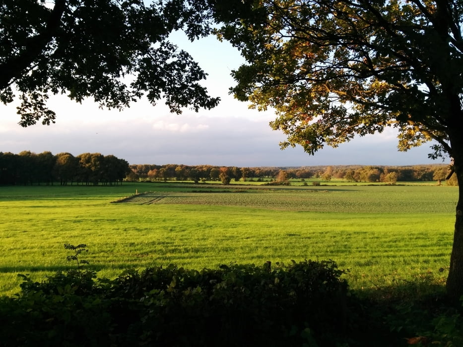
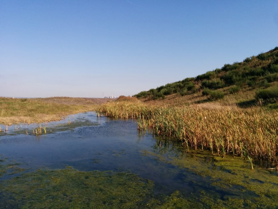
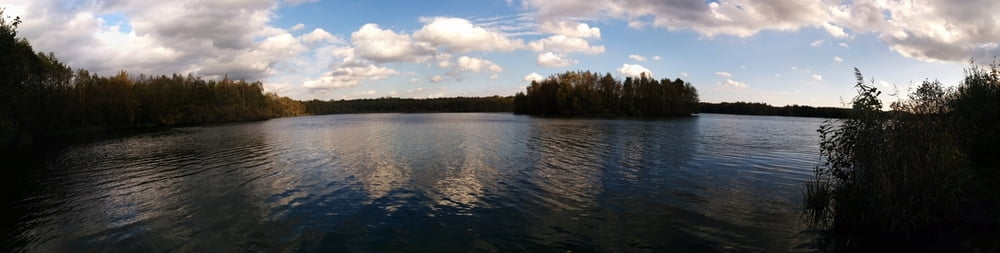
Die Tour beginnt in Oberhausen Sterkrade. Mit der Buslinie 952 geht es bis zur Endestelle Eversloh. Diese liegt unmittelbar zu Füßen der Halde Haniel. Zurück geht ab Oberhausen Schmachtendorf. Hier verkehren mehrere Buslinien in Richtung Sterkrade Bahnhof und Oberhausen Hbf.

Reiseinformationen gibt es bei der Fahrplanauskunft der Deutschen Bahn oder beim Verkehrsverbund Rhein-Ruhr.


GPS tracks

Trackpoints
  • GPX / Garmin Map Source (gpx) download
  • TCX / Garmin Training Center® (tcx) download
  • CRS / Garmin Training Center® (crs) download
  • Google Earth (kml) download
  • G7ToWin (g7t) download
  • TTQV (trk) download
  • Overlay (ovl) download
  • Fugawi (txt) download
  • Kompass (DAV) Track (tk) download
  • Karta trasy (pdf) download
  • Original file of the author (gpx) download

More about the tour author

tbachner
Member since 2007

Send private message
Share track
Add to my favorites
Remove from my favorites
Edit tags
My score
Rate
Trasa: Halde Haniel und Kirchheller Heide
Rodzaj: Wędrówki
Długość: 19,8 km
Evaluated on:
Czas trwania:
Day(s)
Hour(s)
Minute(s)
Ocena: Krajobraz Czynnik zadowolenia Kondycja Technika