Login

Zapomniałeś swój login?

Cookies have to be accepted!
Your browser's cookie functionality is disabled. Please enable this functionality.

Not a member yet?

Register now
Login

Available for registred users only

Log in to use this feature.

Zapomniałeś swój login?

Cookies have to be accepted!
Your browser's cookie functionality is disabled. Please enable this functionality.

Not a member yet?

Register now
Filter
Kategorie
Advanced filters
  • Długość (km)
  • Wysokość
Zapisz filtr Reset filter

TrackRank

QRCode

Technical data

Długość439,9 km Wysokość11691 m Way down12003 m Czas trwania8 days 0 h Data03.11.2014
Oceny Author Krajobraz Czynnik zadowolenia Kondycja Technika

Statystyka

1759 Widoki 1 Ocena 159 Downloads / Pliki do pobrania 3.00 Przeciętnie
Rate
  • Karta trasy
  • Dojazd
  • Downloads / Pliki do pobrania

1.Tag: Prien – Entenlochklamm – Westendorf, 75 km, 800 Hm

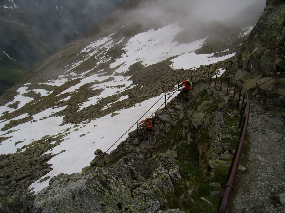
2.Tag: Westendorf – Filzenscharte – Krimmler Tauernhaus, 57 km, 1800 Hm

3.Tag: Tauernhaus – Krimmler Tauern – Bruneck – Montal, 71 km, 1200 Hm

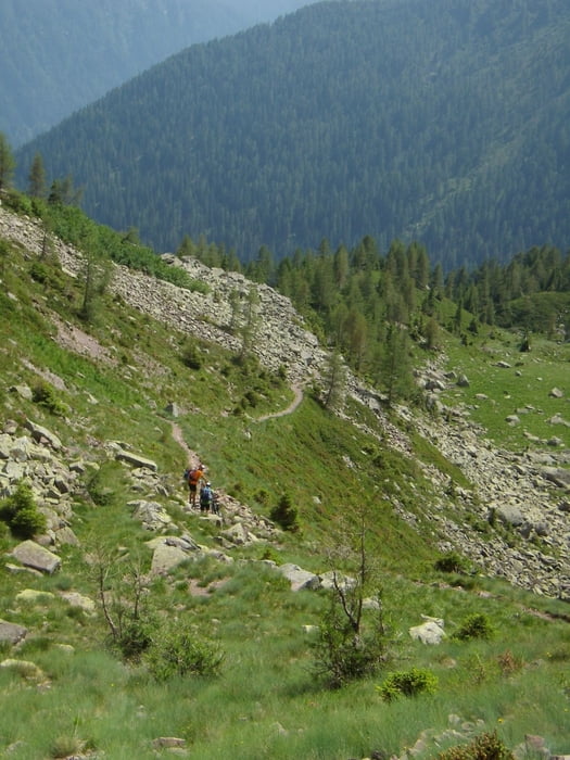
4.Tag: Montal – Ellen – Mauraberghütte, 28 km, 1700 Hm

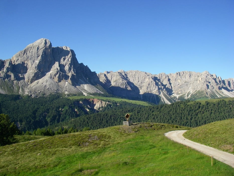
5.Tag: Mauraberghütte – Würzjoch – Gömajoch – Schlütterhütte – Broglesalm – St. Ulrich, 42 km, 1500 Hm

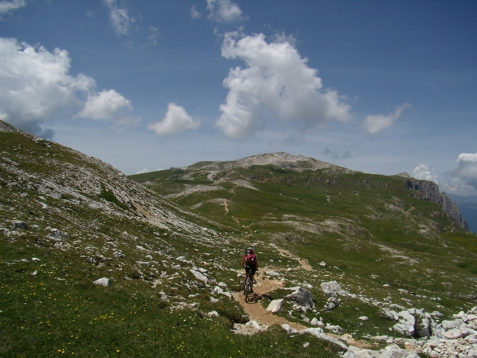
6.Tag: St. Ulrich – Seiseralm – Tierser Alp – Schlern – St. Cyprian, 38 km, 2000 Hm
Abfahrt vom Schlern über den Prüglweg war wegen Bauarbeiten nicht möglich, mußten unsere Räder auf einen Wanderweg ins Tal schieben.

7.Tag: St. Cyprian – Nigerjoch – Karerpass – Passo Sadole – Rifugio Refavaie, 54km, 1800 Hm

8.Tag: Rifugio – Cinque Crocci – Valsugana – Trient, 81 km, 1250 Hm

Galeria trasy

Mapa trasy i profil wysokości

  • Open Street Map
  • Google
Minimum height 208 m Maximum height 2643 m Widok szczegółowy

More about the tour author

radrige
Member since 2008

Send private message

Komentarze

Mit der Bahn nach Prien am Chiemsee, von Trient mit Zug zurück


GPS tracks

Trackpoints
  • GPX / Garmin Map Source (gpx) download
  • TCX / Garmin Training Center® (tcx) download
  • CRS / Garmin Training Center® (crs) download
  • Google Earth (kml) download
  • G7ToWin (g7t) download
  • TTQV (trk) download
  • Overlay (ovl) download
  • Fugawi (txt) download
  • Kompass (DAV) Track (tk) download
  • Karta trasy (pdf) download
  • Original file of the author (gpx) download

More about the tour author

radrige
Member since 2008

Send private message
Share track
Add to my favorites
Remove from my favorites
Edit tags
My score
Rate
Trasa: Chiemsee Trient
Rodzaj: Transalp
Długość: 439,9 km
Evaluated on:
Czas trwania:
Day(s)
Hour(s)
Minute(s)
Ocena: Krajobraz Czynnik zadowolenia Kondycja Technika