Login

Zapomniałeś swój login?

Cookies have to be accepted!
Your browser's cookie functionality is disabled. Please enable this functionality.

Not a member yet?

Register now
Login

Available for registred users only

Log in to use this feature.

Zapomniałeś swój login?

Cookies have to be accepted!
Your browser's cookie functionality is disabled. Please enable this functionality.

Not a member yet?

Register now
Filter
Kategorie
Advanced filters
  • Długość (km)
  • Wysokość
Zapisz filtr Reset filter

TrackRank

QRCode

Technical data

Długość99,3 km Wysokość829 m Way down735 m Czas trwania06:00 h:m Data09.04.2015
Oceny Author Krajobraz Czynnik zadowolenia Kondycja Technika

Statystyka

197 Widoki Oceny 5 Downloads / Pliki do pobrania Przeciętnie
Rate
  • Karta trasy
  • Dojazd
  • Downloads / Pliki do pobrania

Further information at

http://thorsten-bachner.de/radfahren/

Galeria trasy

Mapa trasy i profil wysokości

  • Open Street Map
  • Google
Minimum height 41 m Maximum height 434 m Widok szczegółowy

More about the tour author

tbachner
Member since 2007

Send private message

Komentarze

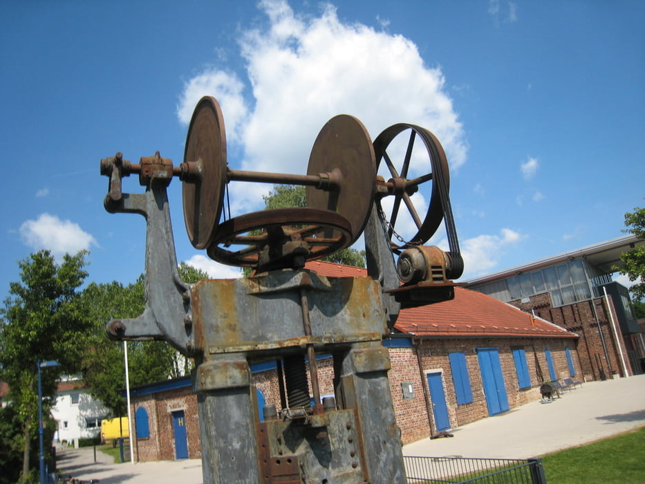
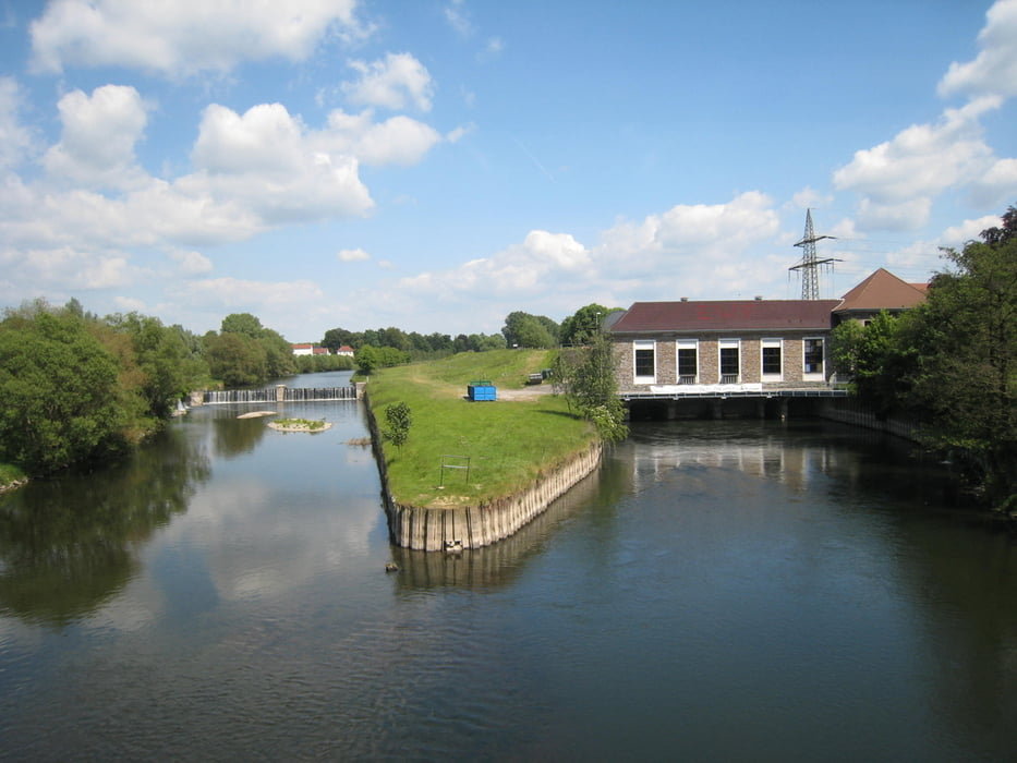
Die Tour beginnt und endet in der Dortmunder Innenstadt. Weitere Bahnhöfe an der Strecke liegen in Ardey, Fröndenberg, Iserlohn-Letmathe, Hagen-Hohenlimburg und Dortmund-Hörde.

Reiseinformationen gibt es bei der Fahrplanauskunft der Deutschen Bahn oder beim Verkehrsverbund Rhein-Ruhr.


GPS tracks

Trackpoints
  • GPX / Garmin Map Source (gpx) download
  • TCX / Garmin Training Center® (tcx) download
  • CRS / Garmin Training Center® (crs) download
  • Google Earth (kml) download
  • G7ToWin (g7t) download
  • TTQV (trk) download
  • Overlay (ovl) download
  • Fugawi (txt) download
  • Kompass (DAV) Track (tk) download
  • Karta trasy (pdf) download
  • Original file of the author (gpx) download

More about the tour author

tbachner
Member since 2007

Send private message
Share track
Add to my favorites
Remove from my favorites
Edit tags
My score
Rate
Trasa: Sauerlandrunde: Menden - Hemer - Letmathe
Rodzaj: Rower trekkingowy
Długość: 99,3 km
Evaluated on:
Czas trwania:
Day(s)
Hour(s)
Minute(s)
Ocena: Krajobraz Czynnik zadowolenia Kondycja Technika