Login

Zapomniałeś swój login?

Cookies have to be accepted!
Your browser's cookie functionality is disabled. Please enable this functionality.

Not a member yet?

Register now
Login

Available for registred users only

Log in to use this feature.

Zapomniałeś swój login?

Cookies have to be accepted!
Your browser's cookie functionality is disabled. Please enable this functionality.

Not a member yet?

Register now
Filter
Kategorie
Advanced filters
  • Długość (km)
  • Wysokość
Zapisz filtr Reset filter

TrackRank

QRCode

Technical data

Długość51,9 km Wysokość158 m Way down190 m Czas trwania09:00 h:m Data03.05.2015
Oceny Author Krajobraz Czynnik zadowolenia Kondycja Technika

Statystyka

621 Widoki Oceny 10 Downloads / Pliki do pobrania Przeciętnie
Rate
  • Karta trasy
  • Dojazd
  • Downloads / Pliki do pobrania

Einfache 3-Tages-Tour auf der Lahn.

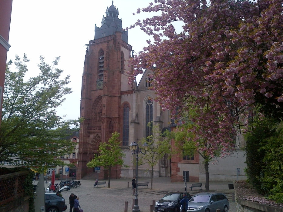
Insbesondere die Altstadt von Wetzlar ist sehr sehenswert.

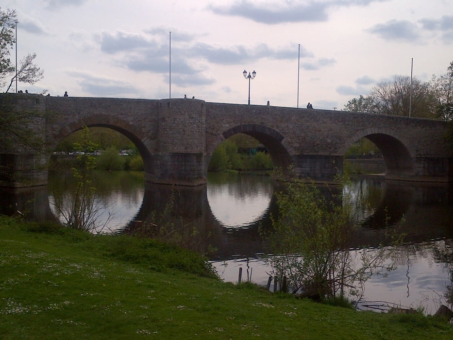
Start in Roth an der Lahnbrücke Wolfshäuser Straße.
Ende in Leun am Jugendzeltplatz.

Übernachtung in Gießen:
Altes Eishaus: www.hotel-giessen.de/

Übernachtung Wetzlar:
Pension Domblick: www.domblick.de/


Further information at

http://de.wikipedia.org/wiki/Wetzlar

Galeria trasy

Mapa trasy i profil wysokości

  • Open Street Map
  • Google
Minimum height 137 m Maximum height 176 m Widok szczegółowy

More about the tour author

grenz-pfad-fahrer
Member since 2009

Send private message

Komentarze

FLU on 30.05.2015

Faltboot?

Hallo, mit einem Faltboot fahrbar ? Danke Grüße
grenz-pfad-fahrer on 30.05.2015

Faltboot

die Tour ist mit Faltboot fahrbar, die Bootsgassen aber nur bei hohem Wasserstand, hier müsste man bei Niedrigwasser umtragen. Wir sind bei relativ niedrigem Wasserstand gefahren und hatten auch unterwegs in den wenigen Stromschnellen keine Grundberührung.
Von der B3 kommens in Richtung Roth abbiegen, dies ist dann bereits die Wolfshäuser Str. Vor der Bücke rechts in einen Feldweg einbiegen (Einbahnstraße). Hier gehts zum Startpunkt.

GPS tracks

Trackpoints
  • GPX / Garmin Map Source (gpx) download
  • TCX / Garmin Training Center® (tcx) download
  • CRS / Garmin Training Center® (crs) download
  • Google Earth (kml) download
  • G7ToWin (g7t) download
  • TTQV (trk) download
  • Overlay (ovl) download
  • Fugawi (txt) download
  • Kompass (DAV) Track (tk) download
  • Karta trasy (pdf) download
  • Original file of the author (gpx) download

More about the tour author

grenz-pfad-fahrer
Member since 2009

Send private message
Share track
Add to my favorites
Remove from my favorites
Edit tags
My score
Rate
Trasa: Die Lahn von Roth bis Leun
Rodzaj: Łodzi i kajaków
Długość: 51,9 km
Evaluated on:
Czas trwania:
Day(s)
Hour(s)
Minute(s)
Ocena: Krajobraz Czynnik zadowolenia Kondycja Technika