
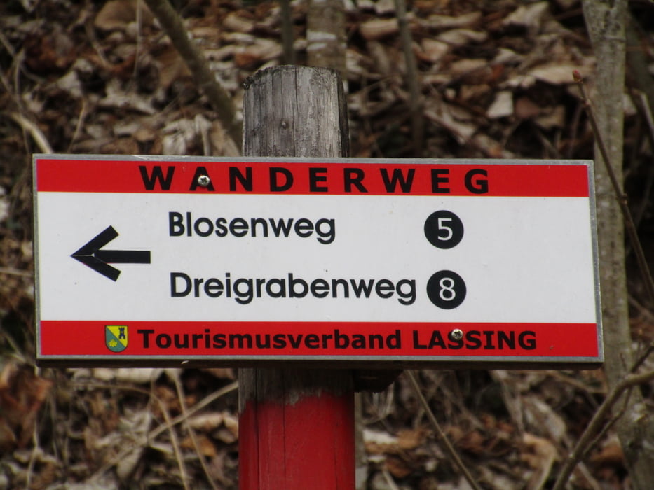

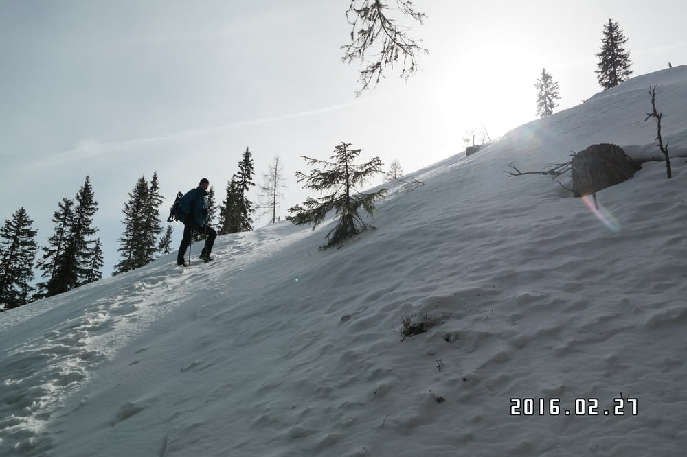
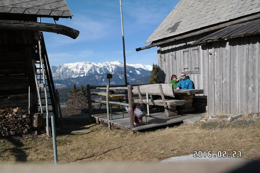
Ausgangspunkt über die Ortschaft Lassing , ist das Gehöft Speckmoser auf 950m .Wir folgen den Wanderweg Nr 5 In Richtung Bloser .Der Aufstieg ist zwar steil aber gut zu gehen . Bei Schnee erwartet uns eine schöne Landschaft. Immer wieder hat man schön Blicke auf die umliegenden Berge .
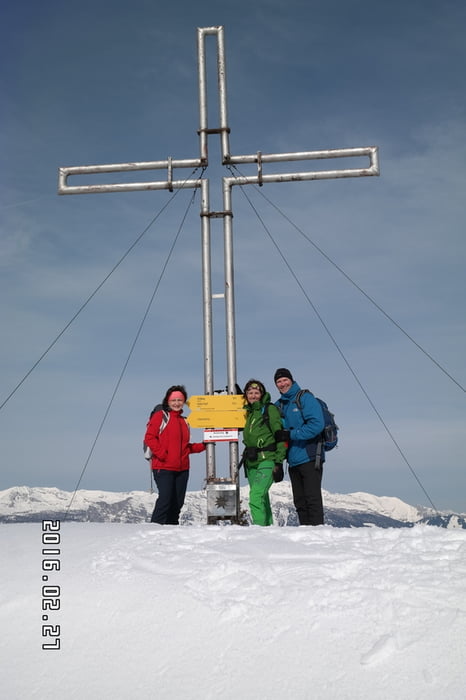
Vom Gipfel gehen wir westlich Richtung Stribing- wir folgen noch eine zeitlang die Markierung bis wir zu einem Forstweg gelangen , wo die Markierung endet und es keine Markierung mehr gibt. Der Forstweg geht rechts weg und der Strasse folgend gehen wir zurück zum Ausgangspunkt ..
Viel Spass beim Wandern!!!!!
Galeria trasy
Mapa trasy i profil wysokości
Minimum height 99999 m
Maximum height -99999 m
More about the tour author
|
|
Mountainbikegirl |
Komentarze

GPS tracks
Trackpoints-
GPX / Garmin Map Source (gpx) download
-
TCX / Garmin Training Center® (tcx) download
-
CRS / Garmin Training Center® (crs) download
-
Google Earth (kml) download
-
G7ToWin (g7t) download
-
TTQV (trk) download
-
Overlay (ovl) download
-
Fugawi (txt) download
-
Kompass (DAV) Track (tk) download
-
Karta trasy (pdf) download
-
Original file of the author (gpx) download
More about the tour author
|
|
Mountainbikegirl |
Add to my favorites
Remove from my favorites
Edit tags
Open track
My score
Rate