Login

Zapomniałeś swój login?

Cookies have to be accepted!
Your browser's cookie functionality is disabled. Please enable this functionality.

Not a member yet?

Register now
Login

Available for registred users only

Log in to use this feature.

Zapomniałeś swój login?

Cookies have to be accepted!
Your browser's cookie functionality is disabled. Please enable this functionality.

Not a member yet?

Register now
Filter
Kategorie
Advanced filters
  • Długość (km)
  • Wysokość
Zapisz filtr Reset filter

TrackRank

QRCode

Technical data

Długość138,9 km Wysokość779 m Way down903 m Czas trwania08:00 h:m Data13.11.2016
Oceny Author Krajobraz Czynnik zadowolenia Kondycja Technika

Statystyka

201 Widoki Oceny 4 Downloads / Pliki do pobrania Przeciętnie
Rate
  • Karta trasy
  • Dojazd
  • Downloads / Pliki do pobrania

Further information at

http://thorsten-bachner.de/radfahren/

Galeria trasy

Mapa trasy i profil wysokości

  • Open Street Map
  • Google
Minimum height -2 m Maximum height 133 m Widok szczegółowy

More about the tour author

tbachner
Member since 2007

Send private message

Komentarze

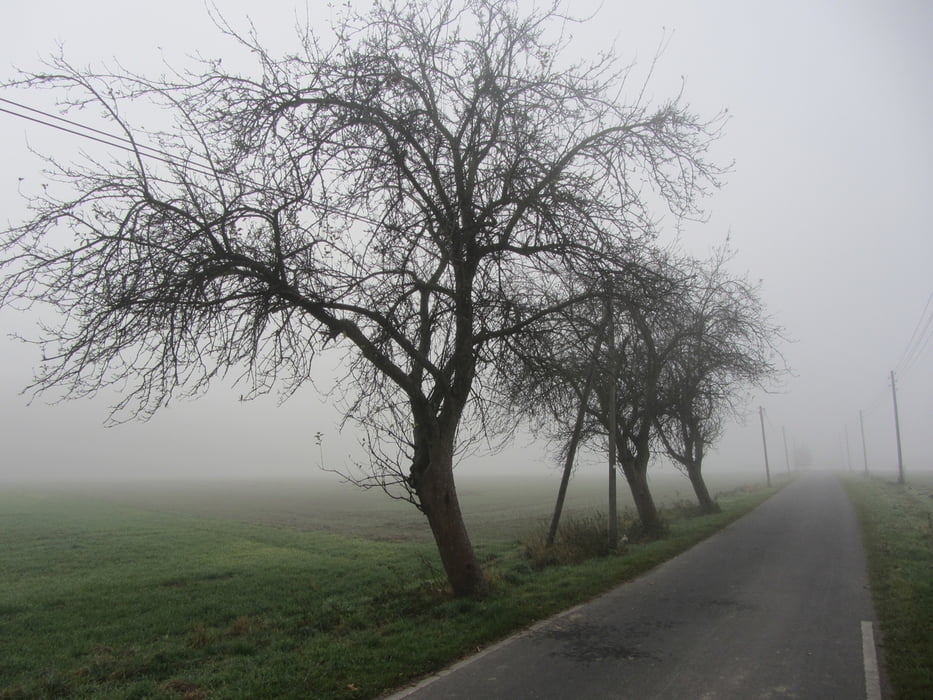
Die Route beginnt in derDortmunder Innenstadt unweit des Bahnhof Dortmund Süd.  Am Zielpunkt Empel-Rees hat man am dortigen Bahnhof Anschluß an den öffentlichen Personennahverkehr.

Weitere Bahnhöfe unweit des Weges finden sich in Dülmen, Maria Veen, Aalten (NL) und Winterswyck (NL). Weitere Reiseinformationen gibt es bei der Fahrplanauskunft der Deutschen Bahn oder beim Verkehrsverbund Rhein-Ruhr.

GPS tracks

Trackpoints
  • GPX / Garmin Map Source (gpx) download
  • TCX / Garmin Training Center® (tcx) download
  • CRS / Garmin Training Center® (crs) download
  • Google Earth (kml) download
  • G7ToWin (g7t) download
  • TTQV (trk) download
  • Overlay (ovl) download
  • Fugawi (txt) download
  • Kompass (DAV) Track (tk) download
  • Karta trasy (pdf) download
  • Original file of the author (gpx) download

More about the tour author

tbachner
Member since 2007

Send private message
Share track
Add to my favorites
Remove from my favorites
Edit tags
My score
Rate
Trasa: Saisonabschluß: Auf nach Holland
Rodzaj: Rower trekkingowy
Długość: 138,9 km
Evaluated on:
Czas trwania:
Day(s)
Hour(s)
Minute(s)
Ocena: Krajobraz Czynnik zadowolenia Kondycja Technika