
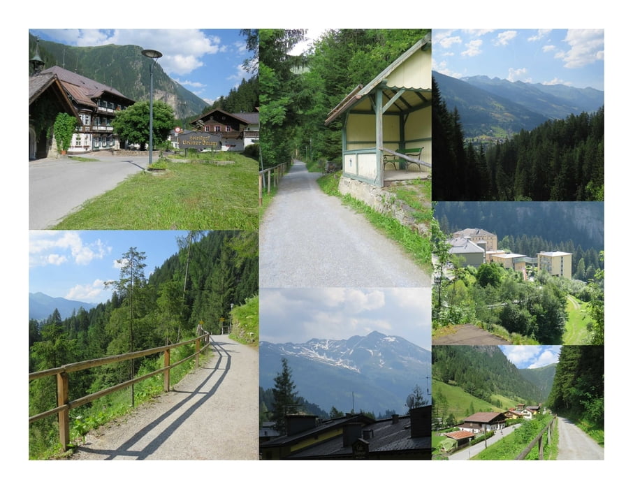

Einstmals war der Grüne Baum ein Hoteldorf. Jetzt steht das Restaurant leer. Geblieben ist die Busstation "Grüner Braum" und der Begriff auf allen Wanderkarten und Hinweisschildern.
Jednefalls ist der Grüne Baum das Ende der Kaiser-Wilhelm-Promenade.
Das ist ein ebener Weg der von Bad Gastein ins Kötschachtal führt. Hi und da gibt es Unterstellmöglichkeiten falls es regnen sollte, eine öffentliche Toilette und Abzweigungen ins Dorf bzw. zum Graukogel mit seinen Einkehrmöglichkeiten.
Der optimale Weg für einen Verdauungsspaziergang :)
Further information at
http://gastein-im-bild.info/gewegna.htmlMapa trasy i profil wysokości
Minimum height 972 m
Maximum height 1071 m
More about the tour author
|
|
huberj59 |
Komentarze

An den Koordinaten N47° 07' 38.9" E13° 09' 28.5" findet man einen ausreichend großen Parkplatz, der gratis benutzt werden darf.
GPS tracks
Trackpoints-
GPX / Garmin Map Source (gpx) download
-
TCX / Garmin Training Center® (tcx) download
-
CRS / Garmin Training Center® (crs) download
-
Google Earth (kml) download
-
G7ToWin (g7t) download
-
TTQV (trk) download
-
Overlay (ovl) download
-
Fugawi (txt) download
-
Kompass (DAV) Track (tk) download
-
Karta trasy (pdf) download
-
Original file of the author (gpx) download
More about the tour author
|
|
huberj59 |
Add to my favorites
Remove from my favorites
Edit tags
Open track
My score
Rate