Login

Zapomniałeś swój login?

Cookies have to be accepted!
Your browser's cookie functionality is disabled. Please enable this functionality.

Not a member yet?

Register now
Login

Available for registred users only

Log in to use this feature.

Zapomniałeś swój login?

Cookies have to be accepted!
Your browser's cookie functionality is disabled. Please enable this functionality.

Not a member yet?

Register now
Filter
Kategorie
Advanced filters
  • Długość (km)
  • Wysokość
Zapisz filtr Reset filter

TrackRank

QRCode

Technical data

Długość10,3 km Wysokość518 m Way down523 m Czas trwania04:18 h:m Data04.03.2018
Oceny Author Krajobraz Czynnik zadowolenia Kondycja Technika

Statystyka

396 Widoki Oceny 8 Downloads / Pliki do pobrania Przeciętnie
Rate
  • Karta trasy
  • Dojazd
  • Downloads / Pliki do pobrania

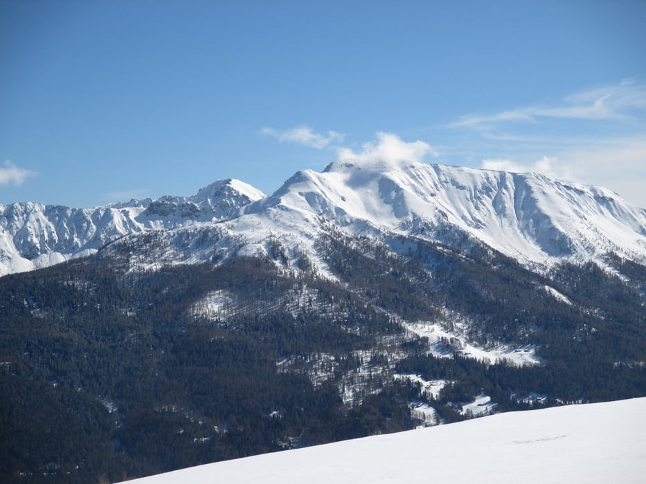
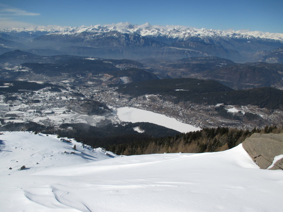
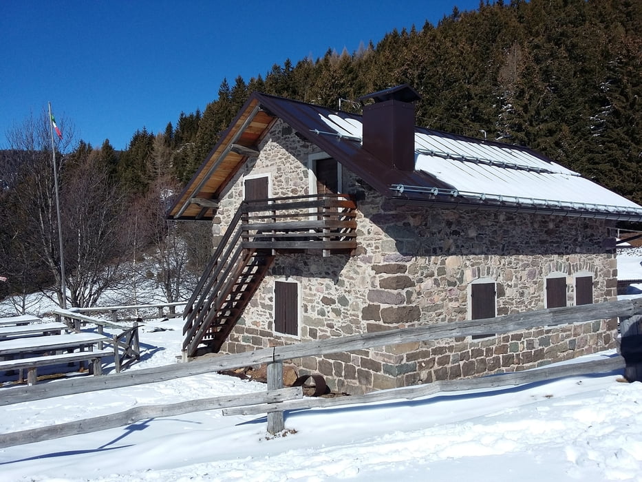
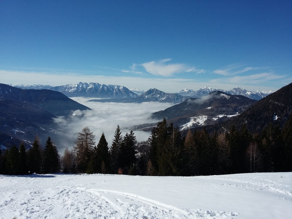
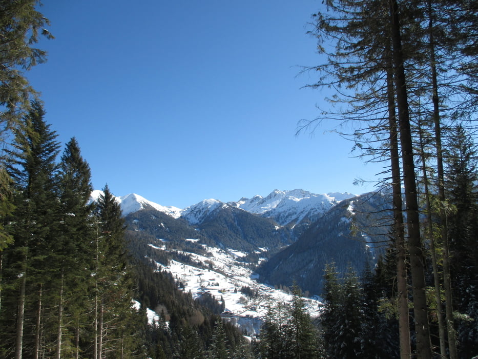
Ottima escursione con le ciaspole. Tappa classica del Lagorai per la pratica di questo tipo di sport.

Gionata splendida.

Further information at

http://www.girovagandointrentino.it/monte-costalta-m-1955/

Galeria trasy

Mapa trasy i profil wysokości

  • Open Street Map
  • Google
Minimum height 1451 m Maximum height 1957 m Widok szczegółowy

More about the tour author

agosflavio
Member since 2013

Send private message

Komentarze

GPS tracks

Trackpoints
  • GPX / Garmin Map Source (gpx) download
  • TCX / Garmin Training Center® (tcx) download
  • CRS / Garmin Training Center® (crs) download
  • Google Earth (kml) download
  • G7ToWin (g7t) download
  • TTQV (trk) download
  • Overlay (ovl) download
  • Fugawi (txt) download
  • Kompass (DAV) Track (tk) download
  • Karta trasy (pdf) download
  • Original file of the author (gpx) download

More about the tour author

agosflavio
Member since 2013

Send private message
Share track
Add to my favorites
Remove from my favorites
Edit tags
My score
Rate
Trasa: Ciaspolata a Dosso di Costalda
Rodzaj: Rakiety śnieżne
Długość: 10,3 km
Evaluated on:
Czas trwania:
Day(s)
Hour(s)
Minute(s)
Ocena: Krajobraz Czynnik zadowolenia Kondycja Technika