


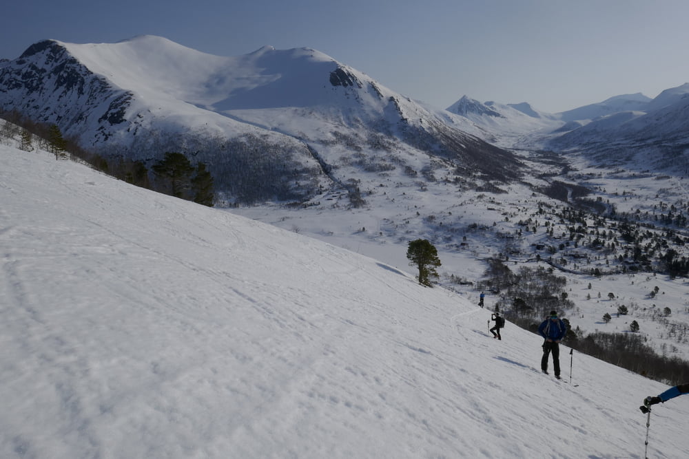
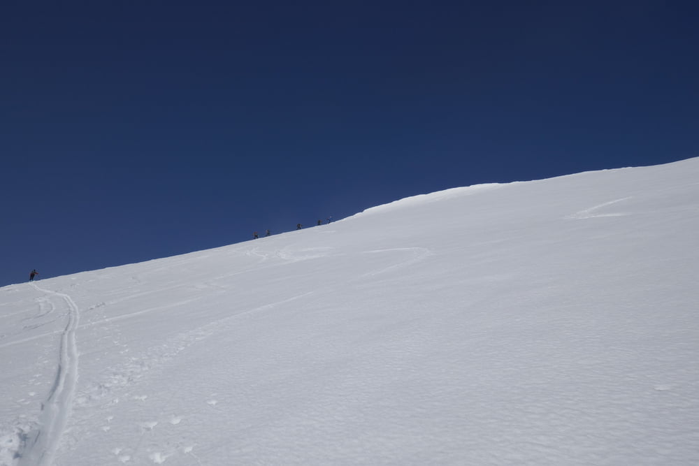
Vom Rauma Skisenter zunächst flach nach W, dann steil durch die Büsche bis zu einem kleinen Plateau. Von dort in nördlicher Richtung über den Rücken zum Gipfel.
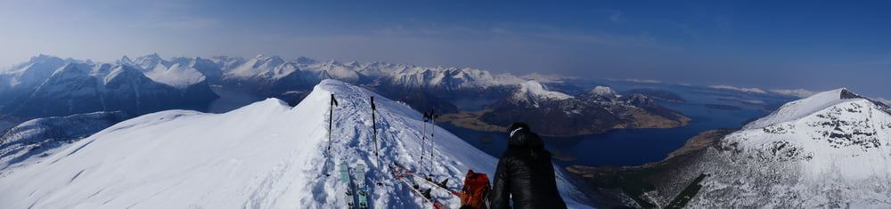
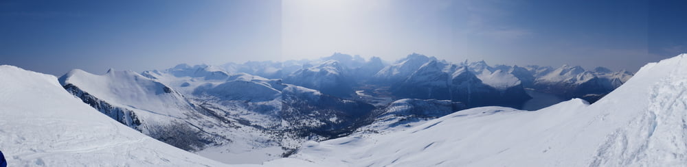
Abfahrt wie Aufstieg
In der Gegend des Rauma Sicenter gibt es vile Privathütten und weitere leichte Anstiege. Die Gegend ist sehr beliebt, aber je weiter man sich vom PP, Hütten und der Loipe entfernt umso einsamer wird es.
Als zweite Tour für den Mittag bietet sich der Smorbottfjellet an, siehe https://www.outdooractive.com/de/route/skitour/norwegen/smorbottfjellet-1.188-m-modeskiberg-am-isfjord/28573502/
Galeria trasy
Mapa trasy i profil wysokości
Minimum height 309 m
Maximum height 998 m
More about the tour author

|
Gi |
Komentarze

Von Idfjorden über die 64 nach Westen. Dann der Auffahrt zum Rauma Skisenter folgen
GPS tracks
Trackpoints-
GPX / Garmin Map Source (gpx) download
-
TCX / Garmin Training Center® (tcx) download
-
CRS / Garmin Training Center® (crs) download
-
Google Earth (kml) download
-
G7ToWin (g7t) download
-
TTQV (trk) download
-
Overlay (ovl) download
-
Fugawi (txt) download
-
Kompass (DAV) Track (tk) download
-
Karta trasy (pdf) download
-
Original file of the author (gpx) download
More about the tour author
|
|
Gi |
Add to my favorites
Remove from my favorites
Edit tags
Open track
My score
Rate