

Der Parkplatz liegt genau zwischen Start- und Endbpunkt. Insofern kann man die Route von beiden Richtungen aus starten. Die landschaftlich schöneren Ausblicke gibt es auf der linken Seite (mein Abstieg).
Hinter der Kirche geht es leicht bergan und bei der Kapelle folgt man dem Pfad am Kamm bergan. Der Weg schlängelt sich am Bergrücken entlang und alsbald beginnt er anzusteigen.
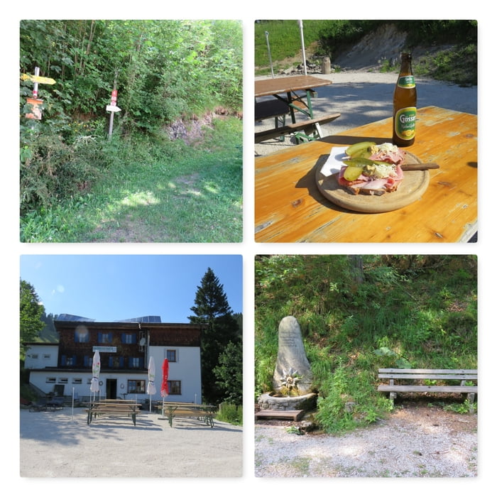
Man folgt der sehr guten Beschilderung bis zum Jagdsteig (Option) und folgt dann dem Steig bergan. Bald erreicht man einen imposanten Felsen und folgt dann dem steilen Pfad bis zur Gschwendthütte.
Beim Abstieg folgt man der Forststraße bis zum großen Parkplatz, quert diesen und folgt der linkerhand ansteigenden Forststraße.
Bald endet die Forststraße und der Wandweg führt rechts durch den Wald bergab.
Am Ende der Tour führen einige steile Kehren hinunter zum Friedhof und wieder zurück zum Ausgangspunkt.
Further information at
https://www.naturfreunde-huetten.at/niederoesterreich/gschwendthuette/Mapa trasy i profil wysokości
Minimum height 482 m
Maximum height 1062 m
Komentarze

Parkplatz vor der Pfarrkriche Hohenberg: N47° 54' 26.8" E15° 37' 10.8"
GPS tracks
Trackpoints-
GPX / Garmin Map Source (gpx) download
-
TCX / Garmin Training Center® (tcx) download
-
CRS / Garmin Training Center® (crs) download
-
Google Earth (kml) download
-
G7ToWin (g7t) download
-
TTQV (trk) download
-
Overlay (ovl) download
-
Fugawi (txt) download
-
Kompass (DAV) Track (tk) download
-
Karta trasy (pdf) download
-
Original file of the author (gpx) download
Add to my favorites
Remove from my favorites
Edit tags
Open track
My score
Rate