Login

Zapomniałeś swój login?

Cookies have to be accepted!
Your browser's cookie functionality is disabled. Please enable this functionality.

Not a member yet?

Register now
Login

Available for registred users only

Log in to use this feature.

Zapomniałeś swój login?

Cookies have to be accepted!
Your browser's cookie functionality is disabled. Please enable this functionality.

Not a member yet?

Register now
Filter
Kategorie
Advanced filters
  • Długość (km)
  • Wysokość
Zapisz filtr Reset filter

TrackRank

QRCode

Technical data

Długość48,4 km Wysokość2229 m Way down2253 m Czas trwania04:30 h:m Data07.08.2019
Oceny Author Krajobraz Czynnik zadowolenia Kondycja Technika

Statystyka

470 Widoki Oceny 80 Downloads / Pliki do pobrania Przeciętnie
Rate
  • Karta trasy
  • Dojazd
  • Downloads / Pliki do pobrania
Pontebba-Graben-Studena Bassa-Malga Rio Sec-Caserutte-Cason di Lanza-Sentierre del Formaggio-Sella di Val Dolce-Zanklhϋte-Rattendorfer Alm-Trӧpolacher Alm -Rudnigalm-Madritsche-Rossalm-Passo di Pramollo-Pontebba

Further information at
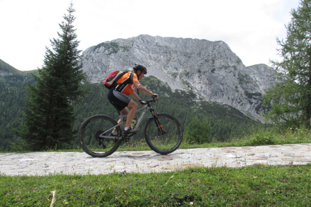
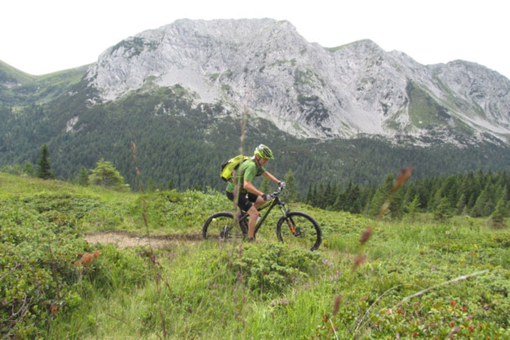
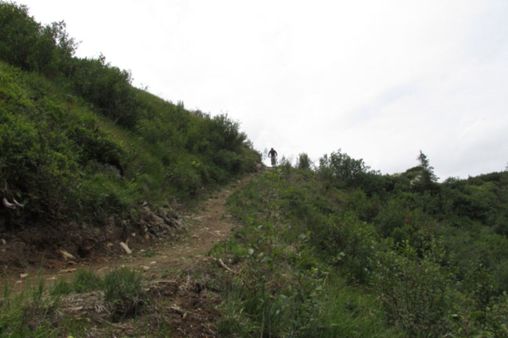
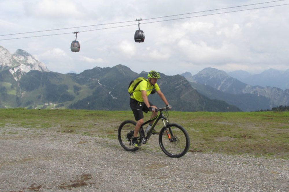
https://mtb-itd.si/poti/monte_zermula

Galeria trasy

Mapa trasy i profil wysokości

  • Open Street Map
  • Google
Minimum height 565 m Maximum height 1915 m Widok szczegółowy

More about the tour author

andrejno
Member since 2012

Send private message

Komentarze

Pontebba-Graben-Studena Bassa-Malga Rio Sec-Caserutte-Cason di Lanza-Sentierre del Formaggio-Sella di Val Dolce-Zanklhϋte-Rattendorfer Alm-Trӧpolacher Alm -Rudnigalm-Madritsche-Rossalm-Passo di Pramollo-Ponteba

GPS tracks

Trackpoints
  • GPX / Garmin Map Source (gpx) download
  • TCX / Garmin Training Center® (tcx) download
  • CRS / Garmin Training Center® (crs) download
  • Google Earth (kml) download
  • G7ToWin (g7t) download
  • TTQV (trk) download
  • Overlay (ovl) download
  • Fugawi (txt) download
  • Kompass (DAV) Track (tk) download
  • Karta trasy (pdf) download
  • Original file of the author (gpx) download

More about the tour author

andrejno
Member since 2012

Send private message
Share track
Add to my favorites
Remove from my favorites
Edit tags
My score
Rate
Trasa: Monte Zermula in Madritsche
Rodzaj: Rower górski (MTB)
Długość: 48,4 km
Evaluated on:
Czas trwania:
Day(s)
Hour(s)
Minute(s)
Ocena: Krajobraz Czynnik zadowolenia Kondycja Technika