


10. Golling-Weißbach bei Lofer
Golling-Ecker Sattel-Berchtesgaden-Ramsau-Hintersee-
Hirschbichlpass-Weißbach bei Lofer
Die 1000 hm bis zum Ecker Sattel sind großteils gut fahrbar auf Schotter, bis auf 15' Schiebestück zur Alm (?). Das ist übrigens ein wunderbarer Fleck Erde mit Brunnen, lädt ein zum Verweilen. Für die Abfahrt wählen wir hauptsächlich die Roßfeldstraße nach Berchtesgaden.
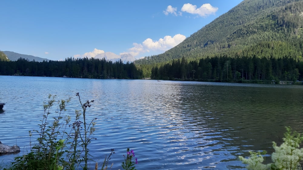
In Folge geht es überwiegend auf Radwegen stetig leicht bergan. Im Hintersee kühlen wir uns ab, das tut Not bei dieser enormen Hitze.
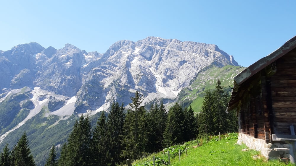
Der Radweg rauf zum Hirschbichlpass ist durchgehend asphaltiert. Großteils mäßige Steigung, gegen Ende gibt es zwei Steilstücke.
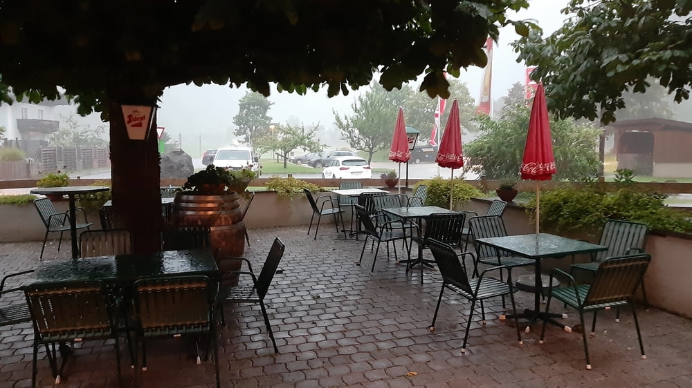
Runter wieder alles Asphalt. Gerade noch vorm Gewitter beim Quartier angekommen.
Quartier: Haus Schider, gut.
Further information at
https://www.weissbach.at/tourismus/privatzimmer-fewos/Galeria trasy

Mapa trasy i profil wysokości
Minimum height 479 m
Maximum height 1412 m
More about the tour author
|
|
mitter |
Komentarze

Start in Golling bei der Pension Kronreif (ehem. Taxiunternehmen).
GPS tracks
Trackpoints-
GPX / Garmin Map Source (gpx) download
-
TCX / Garmin Training Center® (tcx) download
-
CRS / Garmin Training Center® (crs) download
-
Google Earth (kml) download
-
G7ToWin (g7t) download
-
TTQV (trk) download
-
Overlay (ovl) download
-
Fugawi (txt) download
-
Kompass (DAV) Track (tk) download
-
Karta trasy (pdf) download
-
Original file of the author (gpx) download
More about the tour author
|
|
mitter |
Add to my favorites
Remove from my favorites
Edit tags
Open track
My score
Rate