
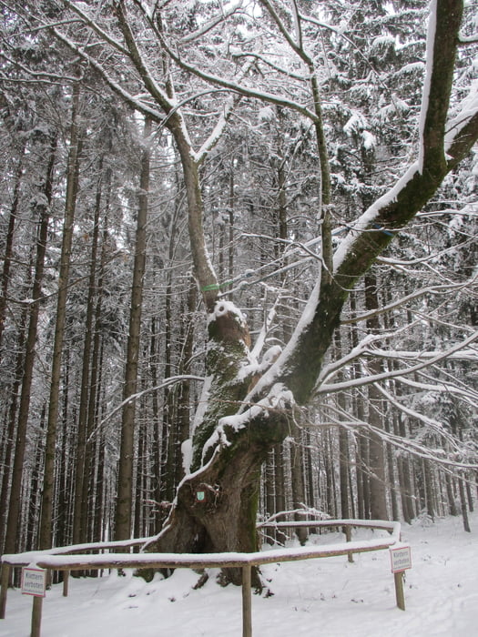

Vom Ortsplatz auf dem Weg 1 hinunter nach Unterminathal. Links Richtung Erlinger im Wald den Totenmann-Berg hinauf. Die Hauptstraße wird überquert, links auf den HKW 1 durch die Ortschaft Höh bis zur 1000jährigen Linde. Durch den Wald hinunter ins Moosbachtal. Auf dem Güterweg Raucheneck hinauf zu den Häusern. Über Wiesen- und Waldwege wieder ins Tal. Entlang des Waldrandes zur Bundesstraße. Diese überqueren und hinüber nach Unterminathal un dhinauf nach Maria Schmolln.
Further information at
https://www.innviertel-tourismus.at/oesterreich-tour/detail/430000065/nr-317-1000-jaehrige-linde.htmlGaleria trasy
Mapa trasy i profil wysokości
Minimum height 482 m
Maximum height 627 m
More about the tour author

|
JoHangler |
Komentarze

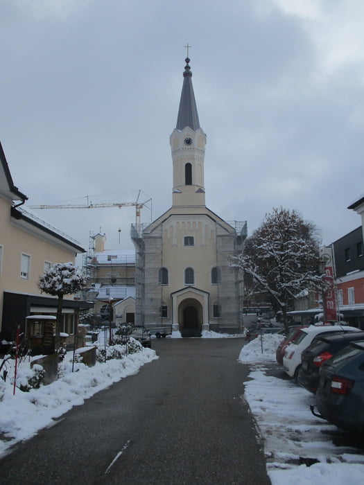
Von Ried im Innkreis Richtung Braunau. Nach Kirchheim links über Aspach und Höhnhart nach Maria Schmolln.
GPS tracks
Trackpoints-
GPX / Garmin Map Source (gpx) download
-
TCX / Garmin Training Center® (tcx) download
-
CRS / Garmin Training Center® (crs) download
-
Google Earth (kml) download
-
G7ToWin (g7t) download
-
TTQV (trk) download
-
Overlay (ovl) download
-
Fugawi (txt) download
-
Kompass (DAV) Track (tk) download
-
Karta trasy (pdf) download
-
Original file of the author (gpx) download
More about the tour author
|
|
JoHangler |
Add to my favorites
Remove from my favorites
Edit tags
Open track
My score
Rate