

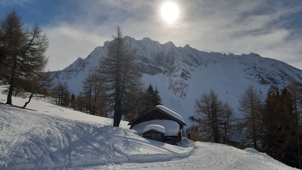
Start in Brennerbad auf dem freigeschobenen Parkplatz (gratis) gleich nach der Bahnunterführung.
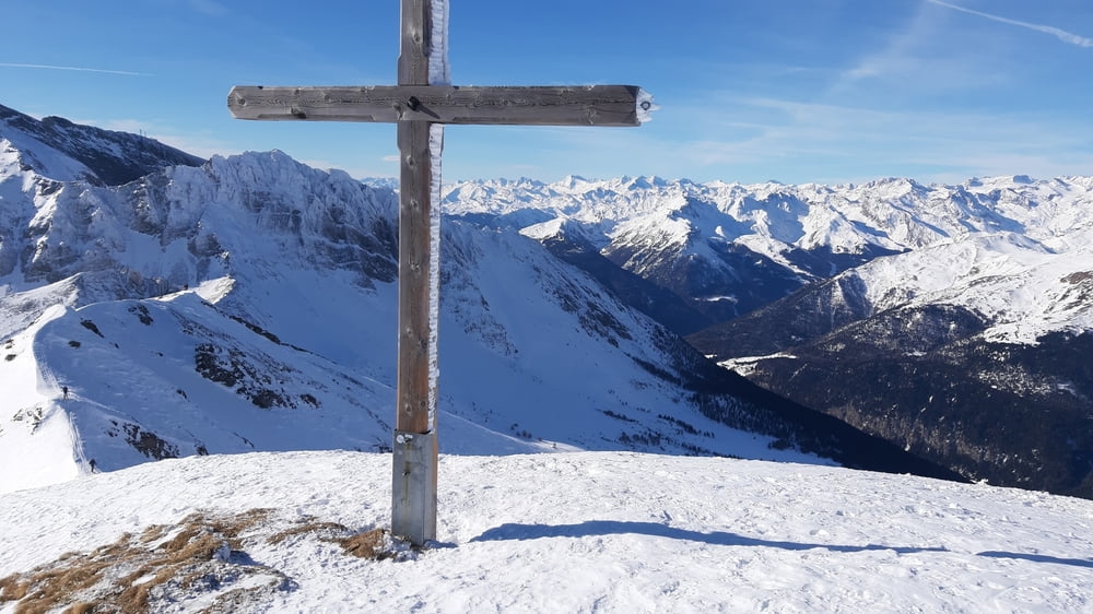
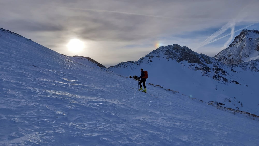
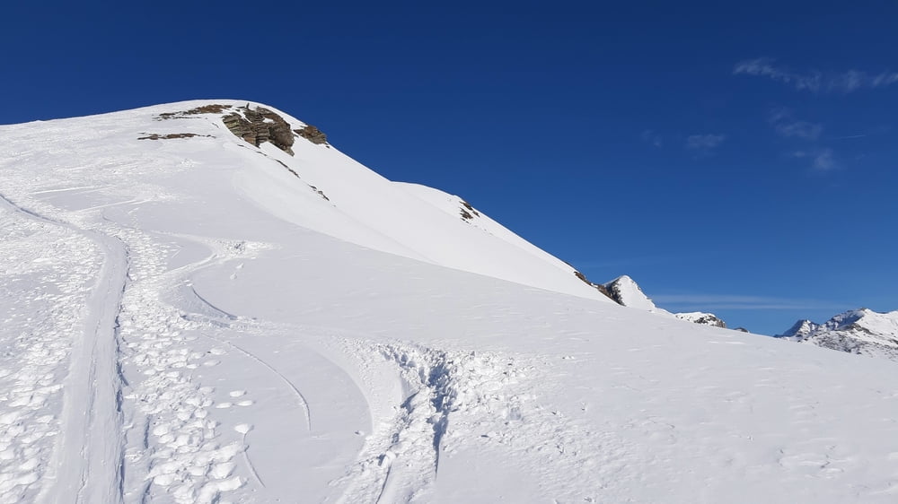
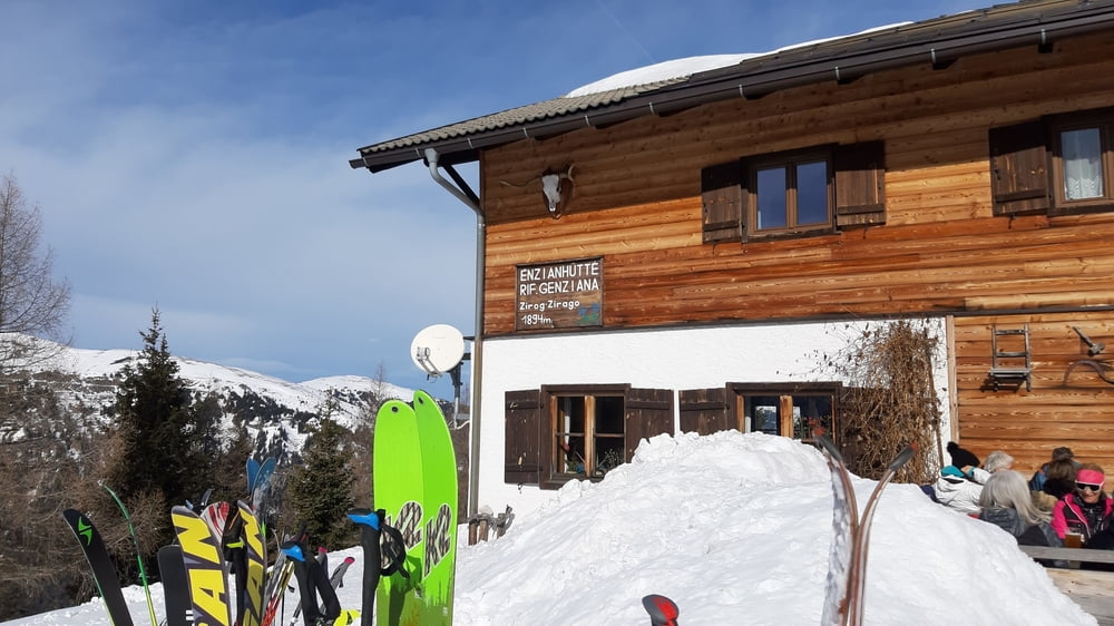
Bis zur Enzianhütte einigermaßen steiler Anstieg auf einer abgefahrenen, pistenähnlichen, schmalen Schneiße. Nach der Hütte kommt man ins offene Gelände. Leider haben wir uns links gehalten. Da war es großteils harschig bis eisig, daher ziemlich mühsam. Oben gibt es eine kurze Gratpassage und dann nochmal ein kleiner Gegenanstieg zum Gipfel. Runter hatten wir in der Mulde fast durchgehend tolle Tiefschneeverhältnisse. Nach einer guten Einkehr in der Enzianhütte sind wir auf Anraten eines Einheimischen durch den Wald im schönen Tiefschnee abgefahren.
Galeria trasy
Mapa trasy i profil wysokości
Minimum height 1283 m
Maximum height 2562 m
More about the tour author
|
|
mitter |
Komentarze

Start in Brennerbad auf dem freigeschobenen Parkplatz (gratis) gleich nach der Bahnunterführung.
GPS tracks
Trackpoints-
GPX / Garmin Map Source (gpx) download
-
TCX / Garmin Training Center® (tcx) download
-
CRS / Garmin Training Center® (crs) download
-
Google Earth (kml) download
-
G7ToWin (g7t) download
-
TTQV (trk) download
-
Overlay (ovl) download
-
Fugawi (txt) download
-
Kompass (DAV) Track (tk) download
-
Karta trasy (pdf) download
-
Original file of the author (gpx) download
More about the tour author
|
|
mitter |
Add to my favorites
Remove from my favorites
Edit tags
Open track
My score
Rate