

- Start/Ziel: Reichenfels.
- Rundkurs im Uhrzeigersinn.
- Von Reichenfels nach St.Peter, Lichtengraben, Schloss Lichtengraben, Ruine Pain und auf dem Lavant-Radweg zurück zum Ausgangspunkt.
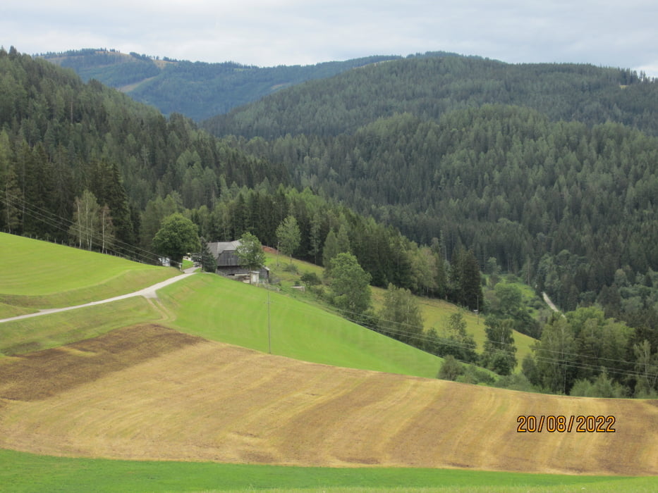
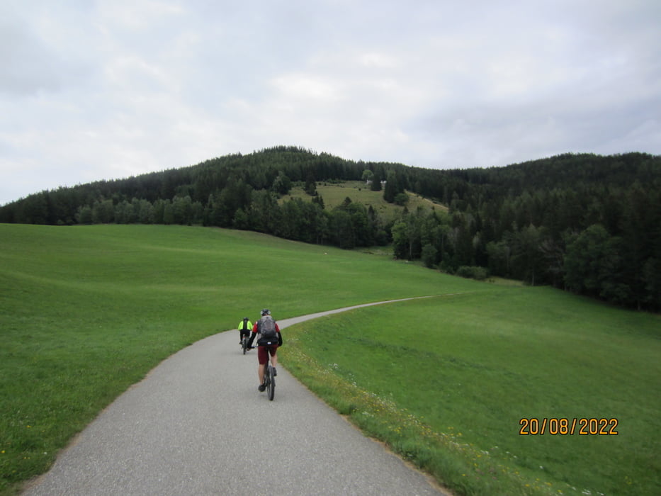
- Wegbeschaffenheit: Asfalt/Schotter. Keine steilen Anstiege. Schöner Rundblick.
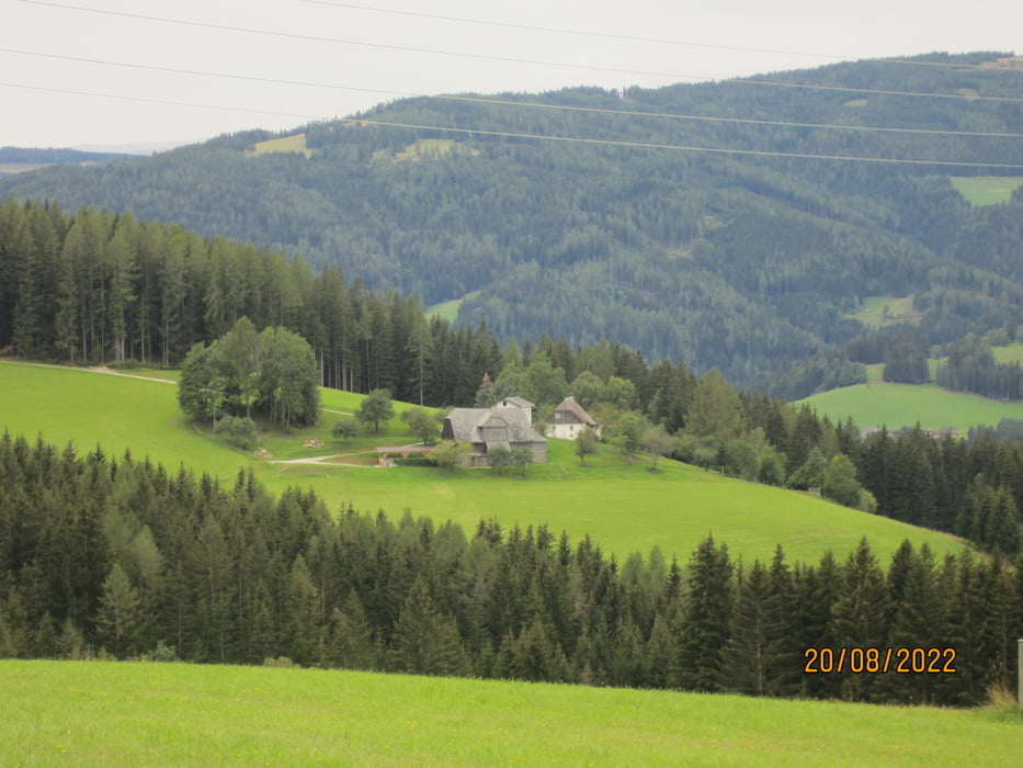
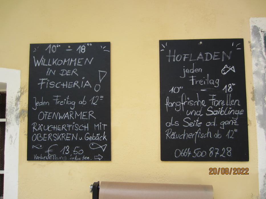
KM 20,90 " Alte Mühle"(Fischräucherei) neben Schloss "Lichtengraben". Jeden Freitag ab 12. kann man dort den geräucherten, köstlichen Fisch aus eigener Zucht geniessen. Für Gruppen räuchert der freundliche Wirt bei Vorbestellung auch an anderen Tagen.
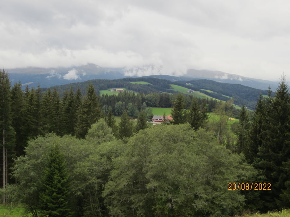
Galeria trasy
Mapa trasy i profil wysokości
Minimum height 834 m
Maximum height 1203 m
More about the tour author
|
|
MargesinFriedrich |
Komentarze

GPS tracks
Trackpoints-
GPX / Garmin Map Source (gpx) download
-
TCX / Garmin Training Center® (tcx) download
-
CRS / Garmin Training Center® (crs) download
-
Google Earth (kml) download
-
G7ToWin (g7t) download
-
TTQV (trk) download
-
Overlay (ovl) download
-
Fugawi (txt) download
-
Kompass (DAV) Track (tk) download
-
Karta trasy (pdf) download
-
Original file of the author (gpx) download
More about the tour author
|
|
MargesinFriedrich |
Add to my favorites
Remove from my favorites
Edit tags
Open track
My score
Rate