


- Rundkurs im Uhrzeigersinn mit Abstecher zu den Muthöfen(Dorf Tirol).
- Start/Ziel: Marling.
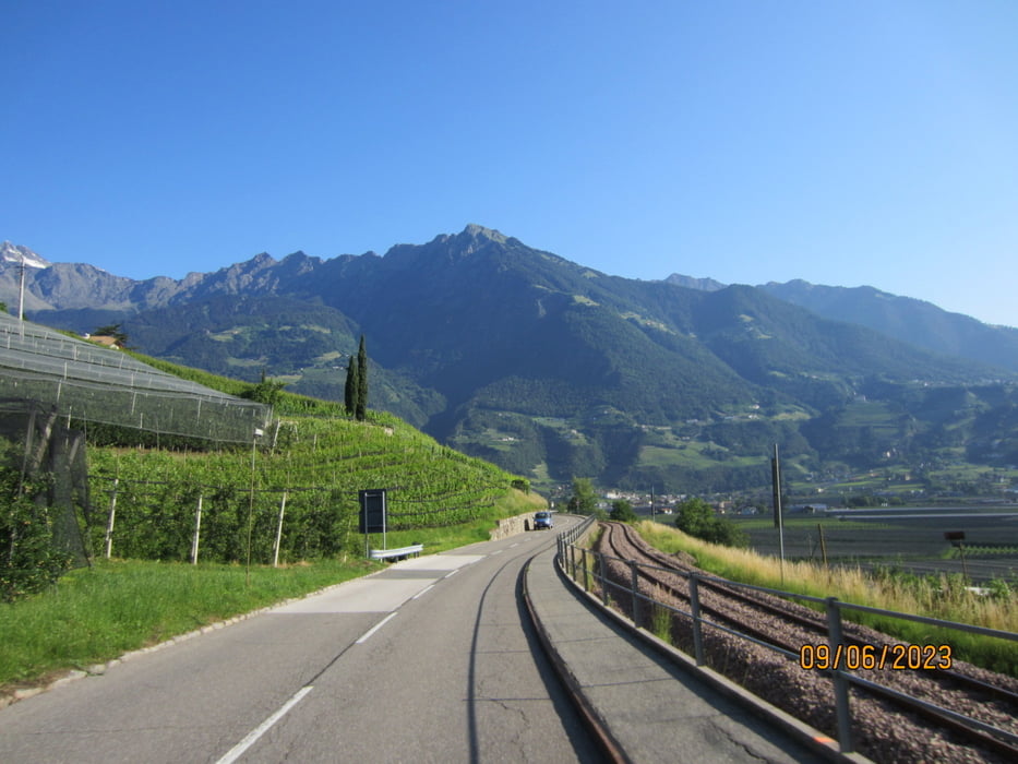
- Auf der verkehrsarmen Panoramastrasse nach Forst/Algund.
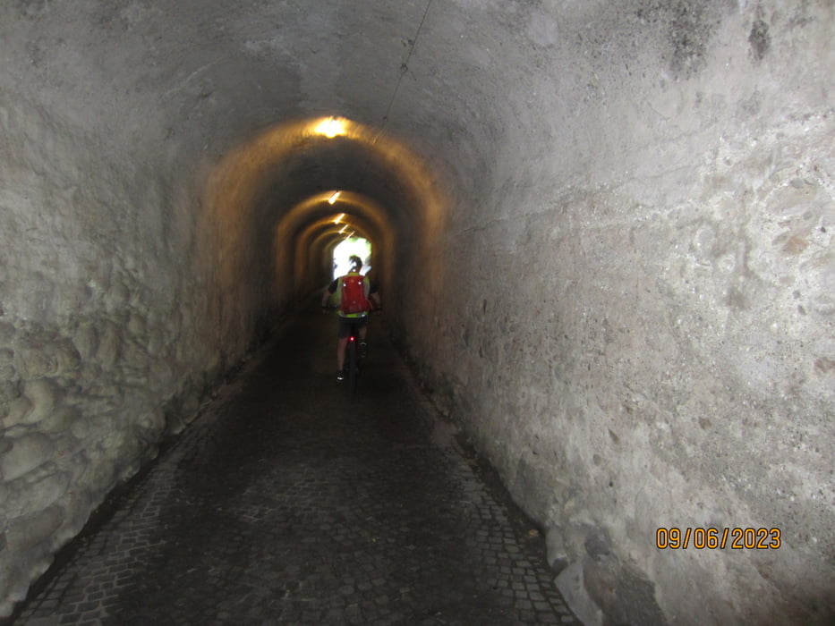
- Weiter auf Nebenwegen nach Dorf Tirol.
- Die Strasse von SchlossTirol nach Dorf Tirol ist von 09.00 - 17.00 für Radfahrer gesperrt.
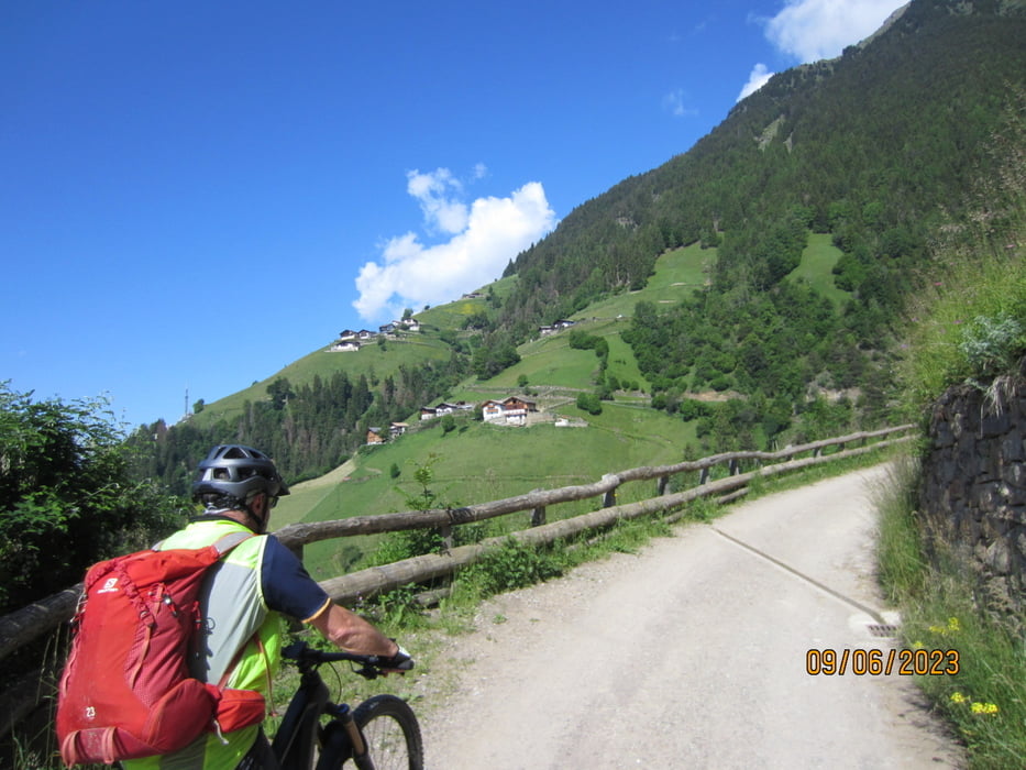
- Vom Dorfzentrum Dorf Tirol auf Asfalt bis zum Gasthof Tiroler Kreutz. Ca. 400 Meter mittelsteil+.
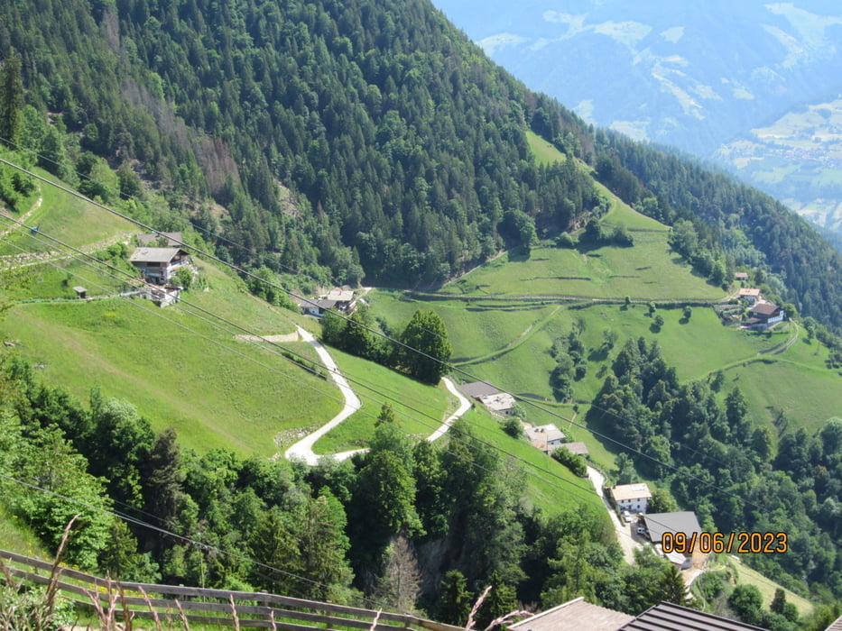
- Weiter auf gepflegtem Schotterweg(mittelsteil) bis zur Bergstation der Seilbahn "Dorf Tirol-Hochmuth".
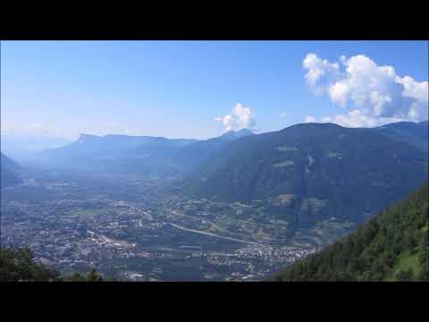
- Rückfahrt nach Dorf Tirol, über Segenbühel, durch die Altstadt von Meran. Weiter auf dem Radweg, zurück zum Ausgangspunkt.
- Am höchsten Punkt der Tour befinden sich mehrere Gasthöfe.
- Bin mit dem E-MTB gefahren.
Galeria trasy
Mapa trasy i profil wysokości
Minimum height 302 m
Maximum height 1401 m
More about the tour author
|
|
MargesinFriedrich |
Komentarze

GPS tracks
Trackpoints-
GPX / Garmin Map Source (gpx) download
-
TCX / Garmin Training Center® (tcx) download
-
CRS / Garmin Training Center® (crs) download
-
Google Earth (kml) download
-
G7ToWin (g7t) download
-
TTQV (trk) download
-
Overlay (ovl) download
-
Fugawi (txt) download
-
Kompass (DAV) Track (tk) download
-
Karta trasy (pdf) download
-
Original file of the author (gpx) download
More about the tour author
|
|
MargesinFriedrich |
Add to my favorites
Remove from my favorites
Edit tags
Open track
My score
Rate