


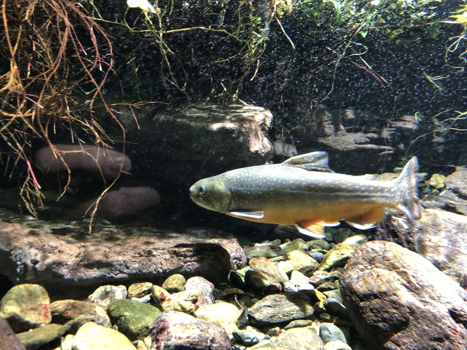
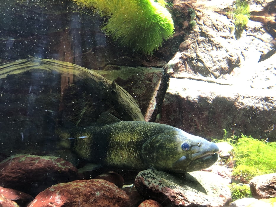
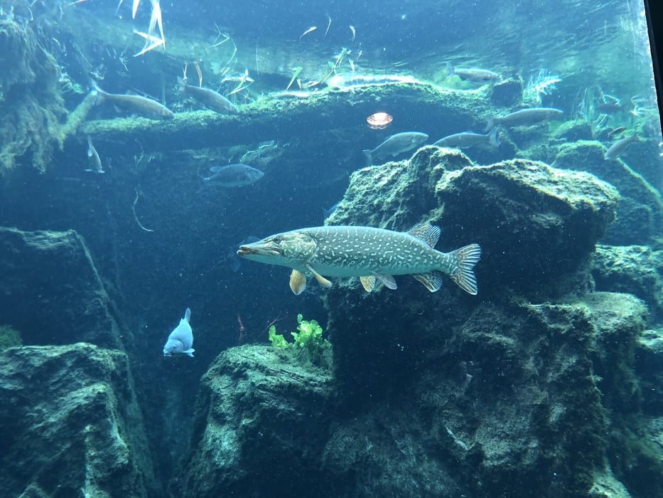
Die hier vorgestellte Radtour ist nur eine mögliche Variante des Hinkommens zum Aquaprad. Ebenso geht es per Bus oder Bahn (nach Spondinig und dann per Bus oder zu Fuß nach Prad). Das Aquaprad ist ein Teil der Nationalparkverwaltung Stilfser Joch, deren zentrales Museum das in Trafoi ist. Die Wasserwelt des Nationalparks in einem eigenen Museum abzubilden, ist ein gelungenes Ergebnis das ich hier nur bildlich vorstellen möchte.
An diesem 21.07.2023 fand auch die Startnummernausgabe für den am Samstag 22.07.23 stattfindenden Stilfser-Joch-Marathon in diesem Aquaprad statt. Ein interessantes Zusatzerlebnis.
Alle näheren Informationen zum Museum bitte ich dem untenstehenden Link zu entnehmen.
Further information at
https://www.nationalpark-stelvio.it/de/erleben/besucherzentren-des-nationalparks/aquaprad.htmlGaleria trasy
Mapa trasy i profil wysokości
Minimum height 886 m
Maximum height 1047 m
More about the tour author
|
|
Trunaradler |
Komentarze

Kostenlose Parkplätze befinden sich in unmittelbarer Umgebung des Museums, manche davon mit Parkscheibe.
GPS tracks
Trackpoints-
GPX / Garmin Map Source (gpx) download
-
TCX / Garmin Training Center® (tcx) download
-
CRS / Garmin Training Center® (crs) download
-
Google Earth (kml) download
-
G7ToWin (g7t) download
-
TTQV (trk) download
-
Overlay (ovl) download
-
Fugawi (txt) download
-
Kompass (DAV) Track (tk) download
-
Karta trasy (pdf) download
-
Original file of the author (gpx) download
More about the tour author
|
|
Trunaradler |
Add to my favorites
Remove from my favorites
Edit tags
Open track
My score
Rate