


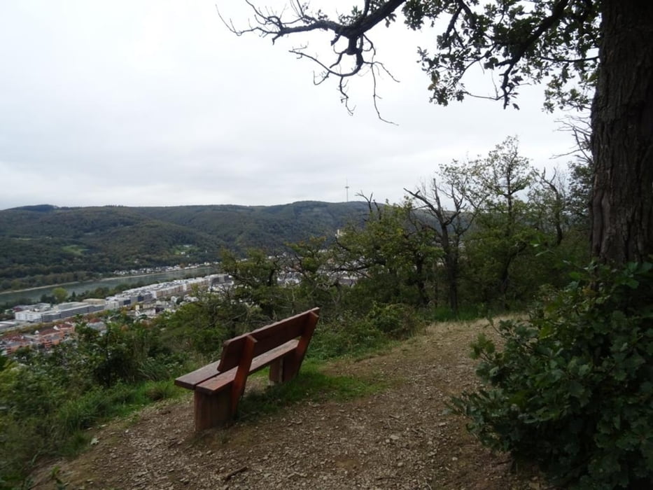
vom Bahnhof folge ich dem Zuweg zum Rheinsteig in Richtung Ruppertsklamm. Nach der Eisenbahnbrücke treffe ich auf den Rheinsteig und gehe hinunter zum Lahnufer. Eine Fussgängerbrücke führt über die Lahn und man erreicht Friedland. Von nun an geht es stetig bergauf bis nach Lahnstein auf der Höhe. Immer wieder laden Bänke zur Rast mit tollen Aussichten ein. Hier verlasse ich den Rheinsteig und gehe weiter zum Naturschutzgebiet Koppelstein - Helmestal. Wieder säumen einige Bänke den Weg mit Weitsichten ins Rheintal nach Rhens, Braubach und dann Oberlahnstein. EinWaldlehrpfad führt zurück nach Oberlahnstein. ich besuche Schloss Martinsburg und gehe am Rheinufer entlang, dann über die Lahnbrücke zurück zum Bahnhof in Niederlahnstein
Further information at
https://sonntagswandern.de/lahnstein-rundweg-zwischen-lahn-und-rhein-22-oktober-2023/Galeria trasy
Mapa trasy i profil wysokości
Minimum height 50 m
Maximum height 255 m
More about the tour author

|
Sonntagswanderin |
Komentarze

mit der Bahn zum Bahnhof in Niederlahnstein
GPS tracks
Trackpoints-
GPX / Garmin Map Source (gpx) download
-
TCX / Garmin Training Center® (tcx) download
-
CRS / Garmin Training Center® (crs) download
-
Google Earth (kml) download
-
G7ToWin (g7t) download
-
TTQV (trk) download
-
Overlay (ovl) download
-
Fugawi (txt) download
-
Kompass (DAV) Track (tk) download
-
Karta trasy (pdf) download
-
Original file of the author (gpx) download
More about the tour author
|
|
Sonntagswanderin |
Add to my favorites
Remove from my favorites
Edit tags
Open track
My score
Rate