


Vom Parkplatz hinunter zur Rot-Kreuz-Kapelle. Links weiter auf der Forststraße hinauf bis kurz vor die Alm. Der Mitterberg mit dem Sender steht direkt westlich vor uns. Hinauf zum Waldrand. Hier beginnt ein Ziehweg, der auf den Gipfel hinaufführt (1 1/2 Std.).
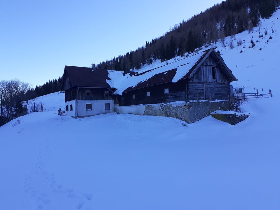
Zurück zum Sattel und vorbei an der Inselbacher Alm den Spuren folgend durch den Wald hinunter in die Innerrosenau. Die Häuser von Leopolden links lassend, entlang des Waldrandes zu einer Lichtung. Auf der hinauf zur Forststraße. Kurz, nachdem eine weitere Forststraße in spitzem Winkel rechts abzweigt, noch 100 Meter weiter und dann kurz weglos rechts zu einer weiteren Forststraße zu queren. Fast eben zu einer kleinen Alm, hier links hinunter zur sichtbaren Egglalm.
Jetzt auf dem Proviantweg dem Bach entlang folgend zur Rot-Kreuz-Kapelle und hinauf zum Parkplatz.
Galeria trasy
Mapa trasy i profil wysokości
Minimum height 887 m
Maximum height 1264 m
More about the tour author

|
JoHangler |
Komentarze

Von Windischgarsten über Rosenau hinauf zum Hengstpass. Nach der Passhöhe noch einen knappen Kilometer bis zur Karlhütte.
Kurz unterhalb der Hütte stehen auf der linken Seite mehrere Parkplätze zur Verfügung.
Kurz unterhalb der Hütte stehen auf der linken Seite mehrere Parkplätze zur Verfügung.
GPS tracks
Trackpoints-
GPX / Garmin Map Source (gpx) download
-
TCX / Garmin Training Center® (tcx) download
-
CRS / Garmin Training Center® (crs) download
-
Google Earth (kml) download
-
G7ToWin (g7t) download
-
TTQV (trk) download
-
Overlay (ovl) download
-
Fugawi (txt) download
-
Kompass (DAV) Track (tk) download
-
Karta trasy (pdf) download
-
Original file of the author (gpx) download
More about the tour author
|
|
JoHangler |
Add to my favorites
Remove from my favorites
Edit tags
Open track
My score
Rate