


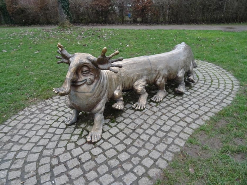
Vom Bahnhof in Hoechst bei Frankfurt am Main gehe ich zum Main, Hoechster Schloss und Bolongaro Palast. Das Wetter hat eine Pause im Dauerregnen eingelegt und der Himmel strahlt blau. Nun verlasse ich Höchst und folge der Nidda erst in Richtung Nied, dann Sossenheim und schliesslich Roedelheim. Wegen Hochwasser sind einige Passagen gesperrt und ich suche mir alternativen, manchmal matschige Feldwege. Bei Sossenheim wird das Wehr naturnah erneuert und wieder sind die Radwege gesperrt. Am Ende erreiche ich den Solmspark und es geht zurück nach Hoechst.
Further information at
https://sonntagswandern.de/an-der-nidda-entlang-von-hoechst-ffm-nach-roedelheim-1-januar-2024/Galeria trasy
Mapa trasy i profil wysokości
Minimum height 69 m
Maximum height 90 m
More about the tour author

|
Sonntagswanderin |
Komentarze

mit der Regio-Bahn oder S-Bahn nach Hoechst bei Frankfurt am Main
GPS tracks
Trackpoints-
GPX / Garmin Map Source (gpx) download
-
TCX / Garmin Training Center® (tcx) download
-
CRS / Garmin Training Center® (crs) download
-
Google Earth (kml) download
-
G7ToWin (g7t) download
-
TTQV (trk) download
-
Overlay (ovl) download
-
Fugawi (txt) download
-
Kompass (DAV) Track (tk) download
-
Karta trasy (pdf) download
-
Original file of the author (gpx) download
More about the tour author
|
|
Sonntagswanderin |
Add to my favorites
Remove from my favorites
Edit tags
Open track
My score
Rate